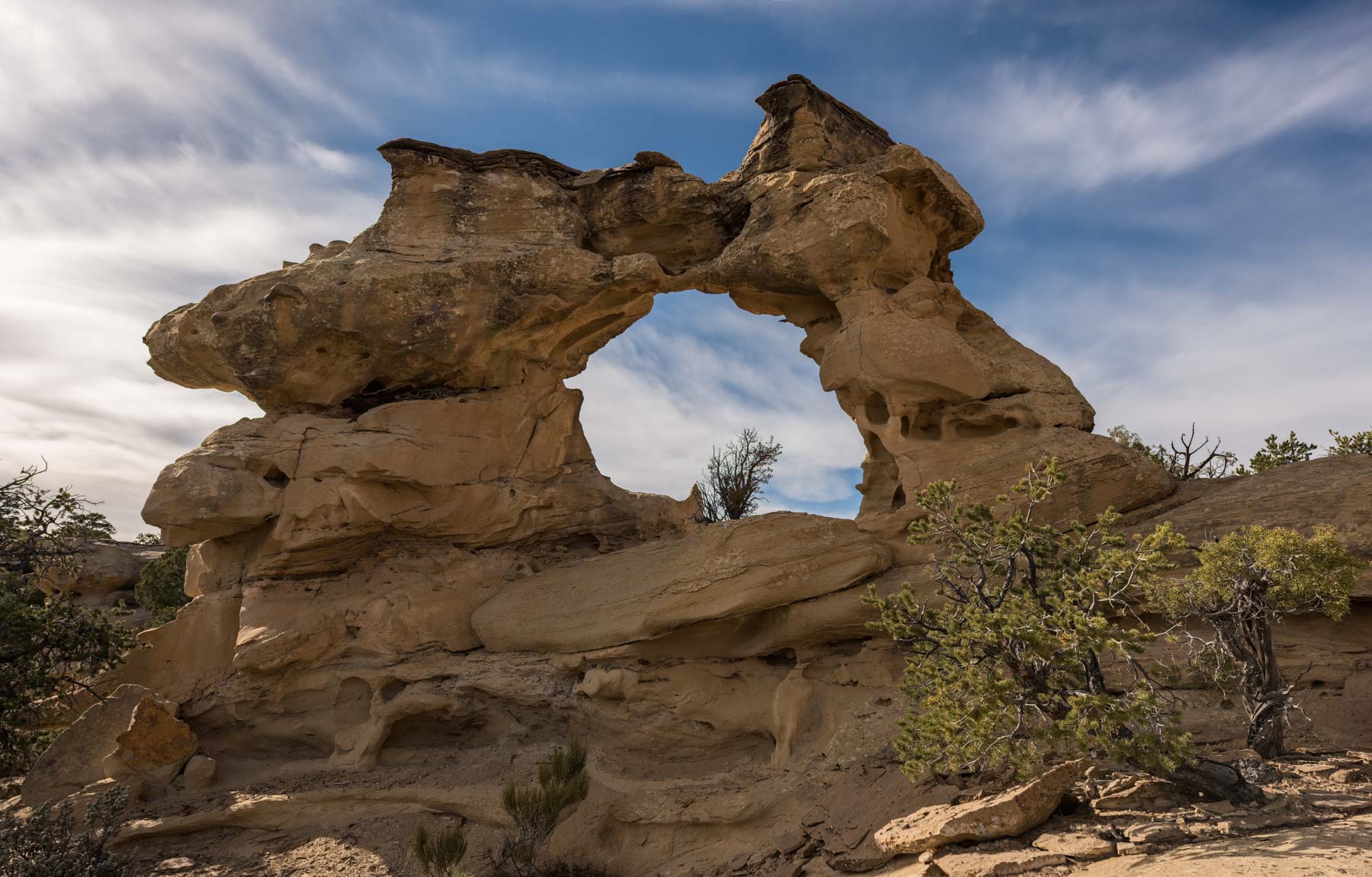
Horizon Arch
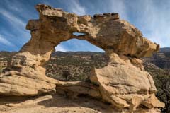
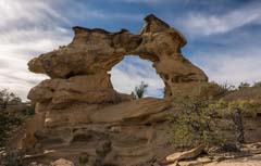
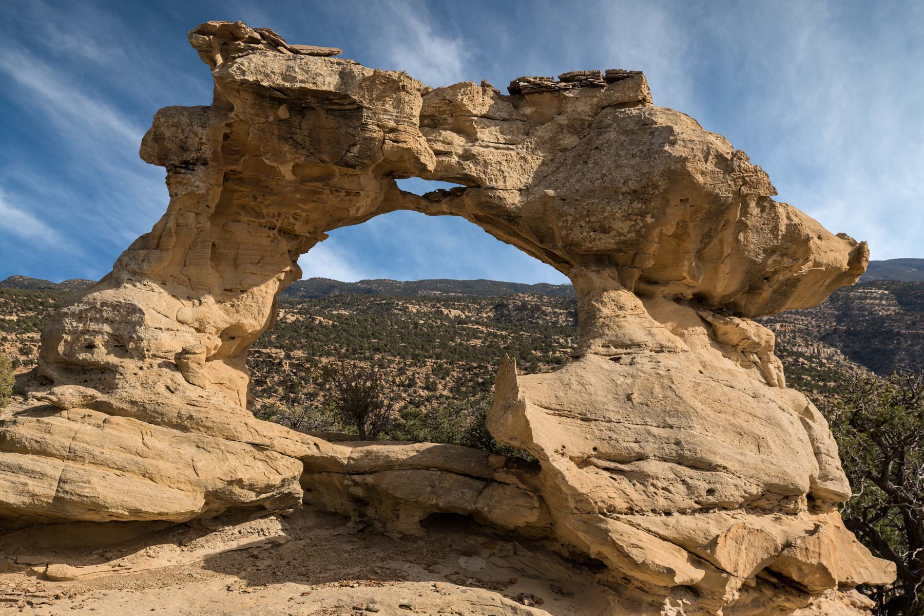
Horizon Arch is an occasionally visited arch in the Grand Staircase Escalante NM. The arch is also known as Kissing Dragons and is very photogenic. Horizon arch sits right on a ridge line and is difficult to get to. The arch runs from the SSW to NNE and is side lit at both sunrise and sunset. The northwest side of the arch is more photogenic than the southeast side so sunset works better than sunrise. Most people (myself included) will not want to stay till sunset since navigating to or from the arch is difficult even in good light. The arch may be inaccessible in the winter due to snow.
Getting There
Horizon Arch cannot be seen until you are very close to it, so a GPS is needed to find it. There is no marked trail to Horizon Arch. Navigating to the arch will be difficult for most and I suggest you only attempt the hike if you have good route finding skills and a GPS.
Here are directions from Escalante:
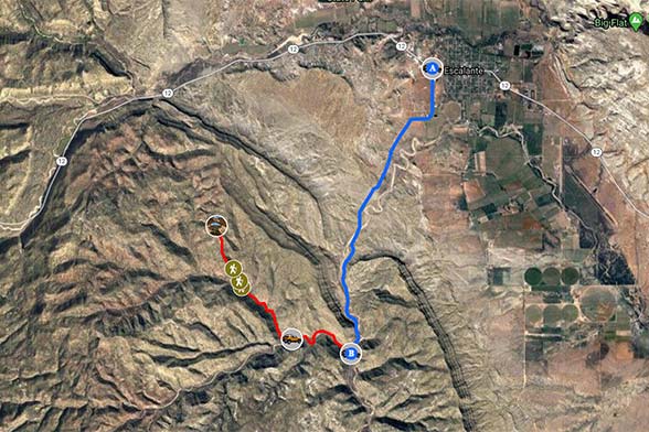
- From Escalante head south on Smokey Mountain Road 4.5 miles to an unsigned 4x4 road/track heading west. Smokey Mountain Road is signed S 500 W in Escalante.
- The 4x4 track may be blocked or closed by the BLM. If so begin your hike on Smokey Mountain Road. If you have a high clearance 4x4 continue down the 4x4 road approximately one mile and park in the wash at the intersection of Mitchell and Coal Bed Canyons.
- Leave Coal Bed Canyon and continue on foot into Mitchell Canyon.
- Continue up the Mitchell Canyon wash 1.1 miles to location 37.72769, -111.65747. Leave the wash and hike up the hillside on the right side of the wash. There may be a cairn at the point where you leave the Mitchell Canyon.
- Continue .1 miles in a NNW direction to a group of red rocks, there should be a cairn here. Bypass the red rocks on their left side.
- Continue another .25 miles and ascend to the ridge line reaching location 37.73133, -111.65963. There should be cairns helping you reach the top. When you get to the top mark your location so you can return to it on the way back to your car.
- Continue hiking in a NNW direction 0.7 miles to the arch at 37.73983, -111.66347.
To view the map in Google Maps please click anywhere on the map to the left (or above). To view the map in Google Earth download the KML or KMZ file below. To add the map data to your GPS or phone download one of the three files below.
USGS 24K Topo Maps
The USGS Canaan Creek map covers the hike to the arch. The map can be downloaded in a variety of formats by clicking or right-clicking below:
| Geo Tiff/Avenza | KMZ | Oruxmaps | KMZ Decollared | Oruxmap Decollared | Avenza Decollared |
| Canaan Creek | KMZ | Oruxmap | KMZ Decollared | Oruxmap Decollared | Avenza Decollared |
