Wupatki National Monument
If you are in the Flagstaff area or driving to Page from the south Wupatki National Monument is an excellent stopping off point, especially in the winter months. The ruins in Wupatki are made of brown stone which takes on a nice red color at sunrise and sunset. In the winter months the red of the ruins contrasts nicely with any snow on the ground, and with the snow on the summit of Mount Humphreys to the southwest. The Lomaki ruins are especially photogenic just after sunrise from December through early April. The iconic shot of Lomaki is done at sunrise using a 100 - 200mm telephoto lens and including Mount Humphreys in the background.
Hours of Operation
While the Wupatki scenic drive is open year round 24 hours a day, unfortunately the ruins are only open from sunrise to sunset. This rules out night photography and light painting which would be otherwise excellent. Wupatki also prohibits hiking off trail which means that you cannot always get the best angle from which to shoot the ruins. If a ranger is present and you go off trail you will be warned, and probably fined for a second occurrence. A fee of $5.00 per person valid for seven days is required of visitors to the park, however senior and annual National Park passes are honored.
Map of the Park
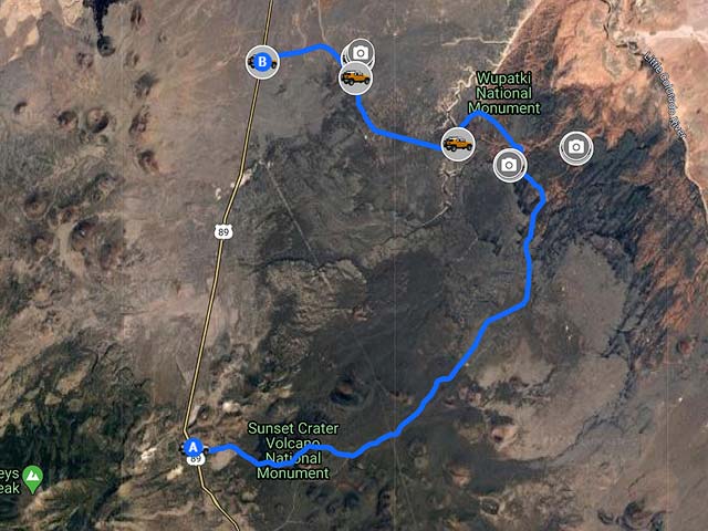
To view the map in Google Maps please click anywhere on the map above.
- Click to download a KMZ file (Note - in IE Right Click and choose Save Target as)
- Click to download a KML file (Note - KML files do not include custom icons)
- Click to download a GPX file (Note - in IE Right Click and choose Save Target as)
USGS 24K Topo Maps
The USGS Wupatki SE and Wupatki SW contain the locations of all of the six ruins open to the public. There are locations of other ruins shown on the maps below, all require hiking off trail or driving on closed roads which is strictly prohibited.
| Geo Tiff/Avenza | KMZ | Oruxmaps | KMZ Decollared | Oruxmap Decollared | Avenza Decollared |
| Wupatki SE | KMZ | Oruxmap | KMZ Decollared | Oruxmap Decollared | Avenza Decollared |
| Wupatki SW | KMZ | Oruxmap | KMZ Decollared | Oruxmap Decollared | Avenza Decollared |
| Merge of both maps | NA | NA | KMZ Decollared | Oruxmap Decollared | Avenza Decollared |