Lake Powell
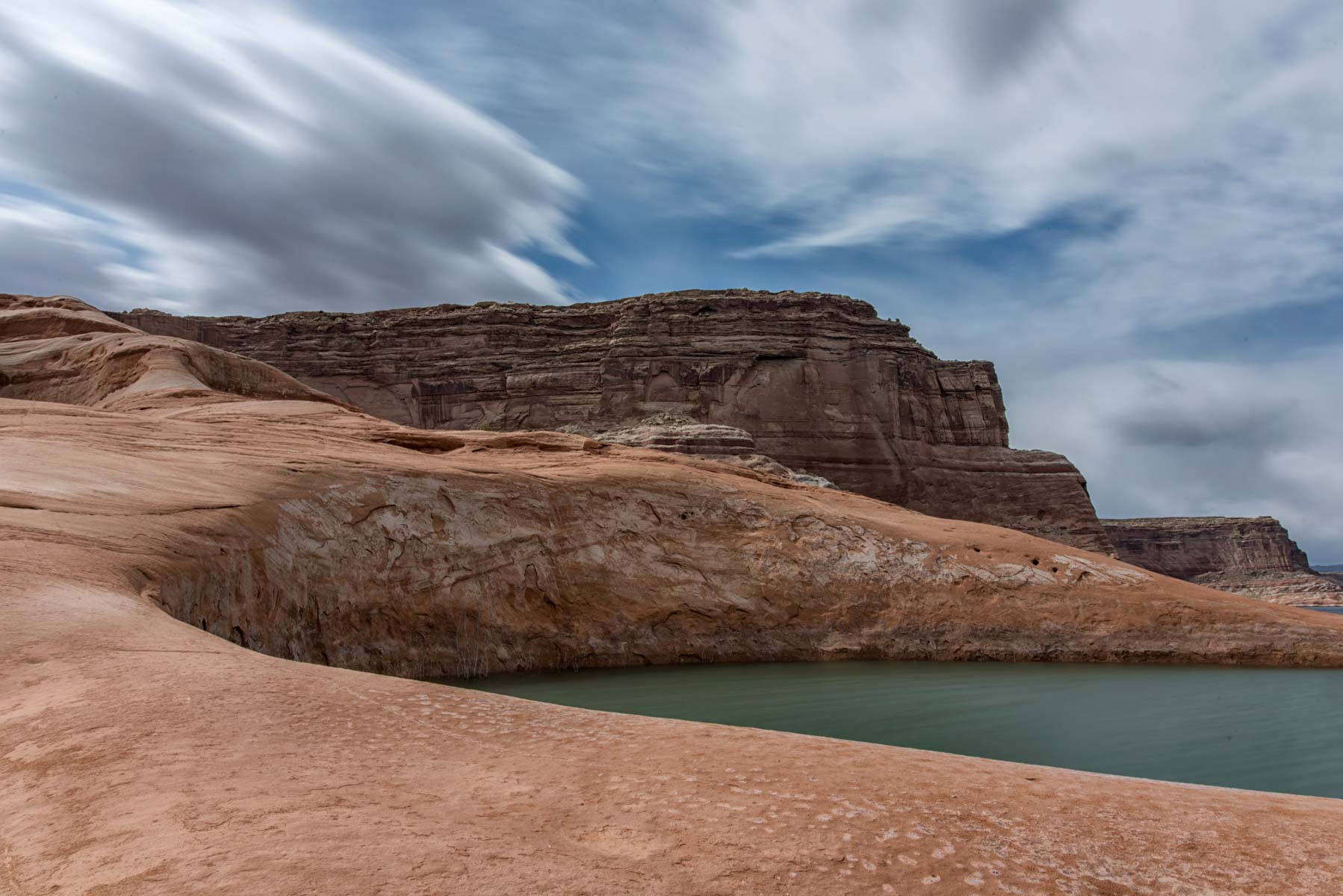
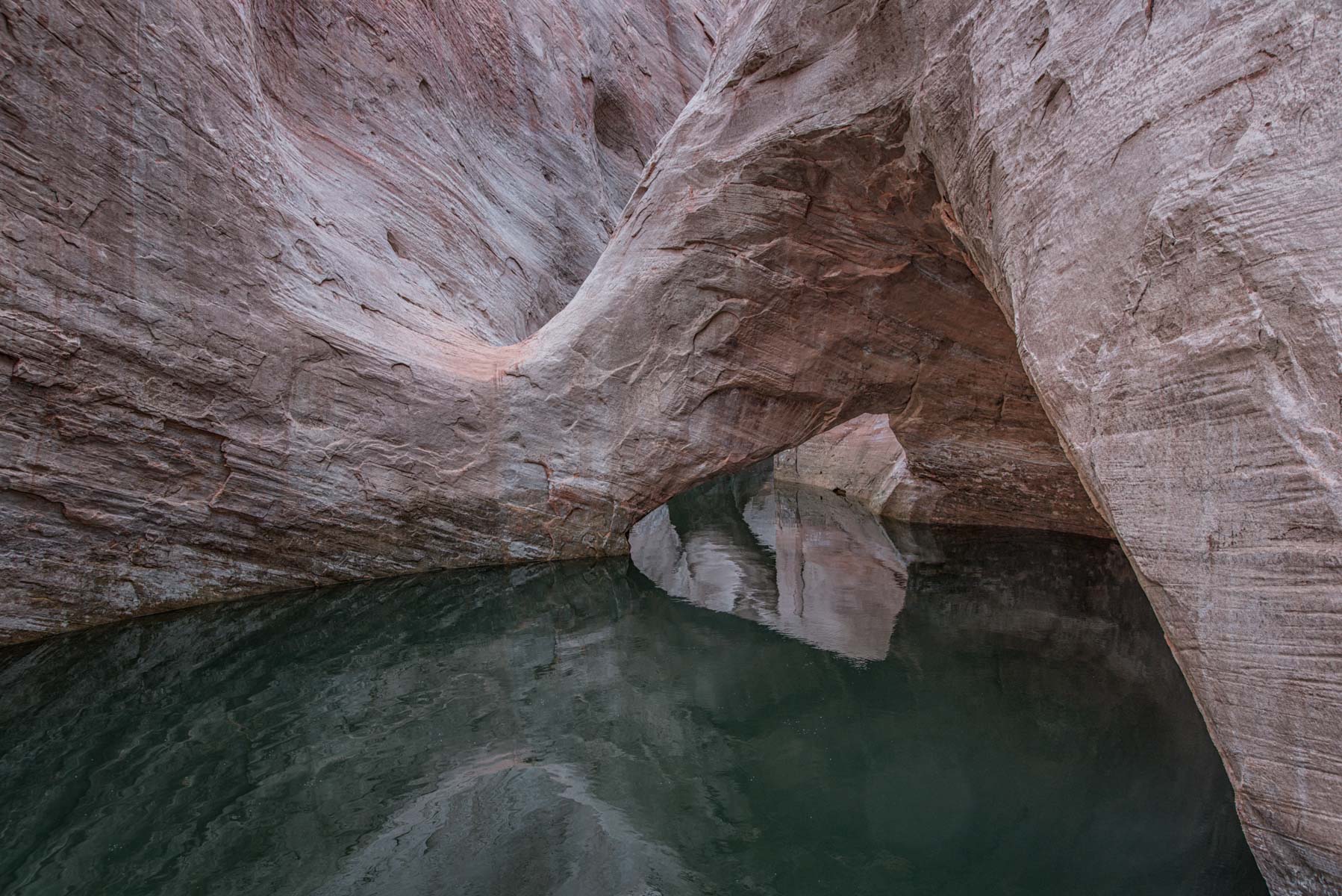
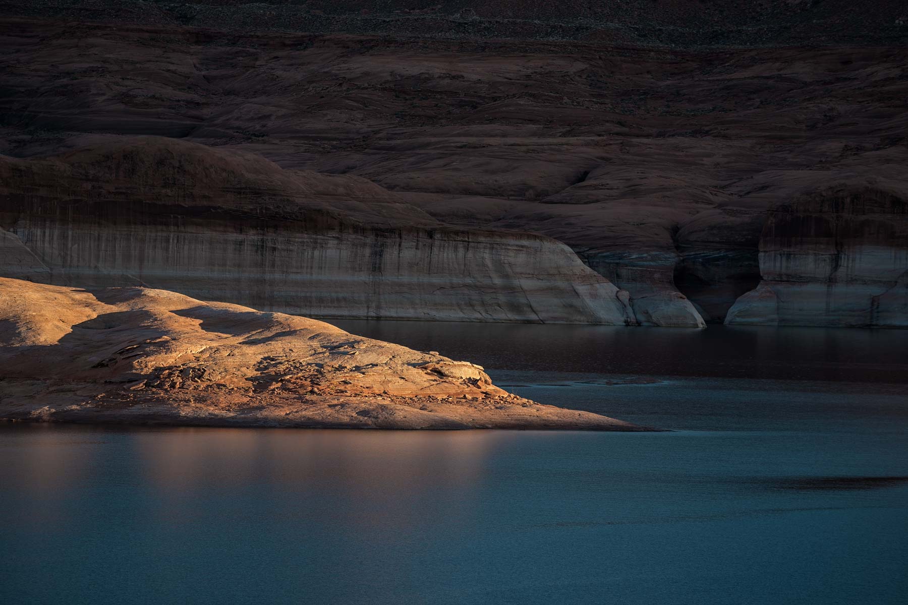
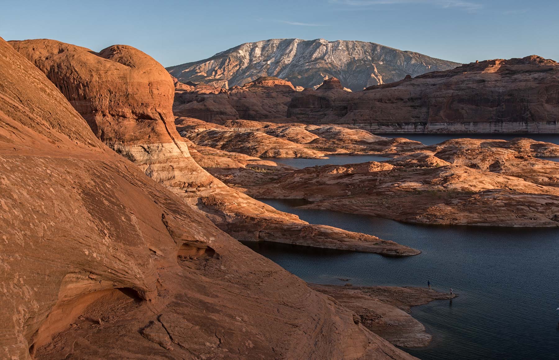
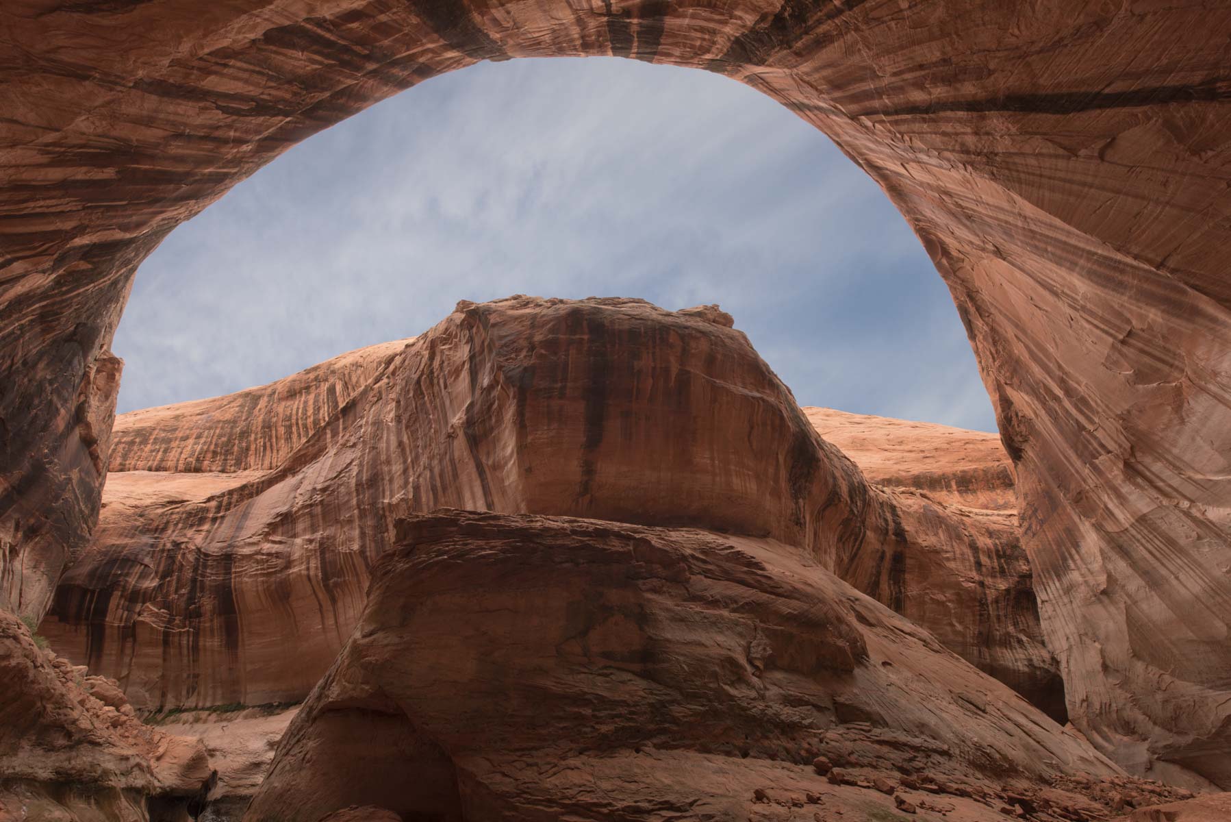
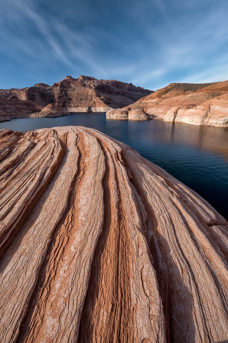
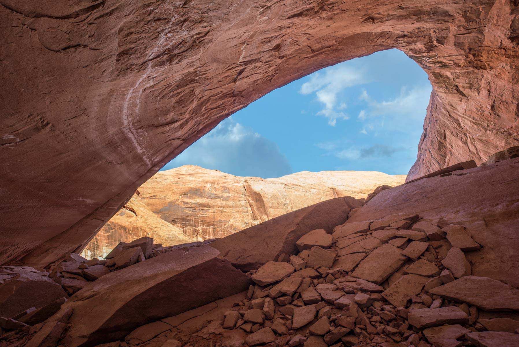
Lake Powell has almost 2,000 miles of shoreline and some of the most ravishingly spectacular scenery in the southwest. Yet it remains largely unknown to most photographers due to the need to rent (or own) and operate a boat, and the very limited access by land. Since my own knowledge of boating consists of sitting on deck drinking beer I booked a Lake Powell photo tour in October 2014, and had such great time I went on another tour in November of 2015. Both tours were led by Gary Ladd, a renowned Arizona Highways photographer . Gary has lived in Page for nearly 35 years and is the author of the Arizona Highways book on Lake Powell, and many others. Remarkably Gary has rowed the entire length of Lake Powell in a wooden boat!
The October 2014 tour lasted one week and consisted of myself, my wife Elaine, four other photographers, Gary, and our captain Danny Woods. Danny is one of those rare people of seemingly limitless energy who can handle anything thrown at him. In addition to his captaining skills Danny is a great cook and loves to fish. He can be reached at fishingpowell.com is you wish to book him. If you are planning on a photo tour of the lake and need a captain or trip leader I highly recommend you contact Gary or Danny or both.
The November 2015 tour ran for ten days and consisted of myself, my wife Elaine, and nine other participants. There were two houseboats on this trip, both more comfortable and spacious than those we used in 2014. The two somewhat larger boats occasionally limited the areas we could visit, for example Anasazi Canyon was not accessible.
In April of 2016 we returned to Lake Powell to photograph Reflection Canyon from the rim using a new (to most) route. The trip ran for five days and consisted of myself, my wife Elaine, and five other participants. We traveled by pontoon boat and camped on shore. The boat was significantly faster than the houseboats used in the past allowing us to visit more sites in less time. The boat was also smaller than a houseboat so we could revisit Anasazi Canyon even at low water levels. Water level was 3,591 which stopped us from visiting Cathedral of the Desert and La Gorce arch.
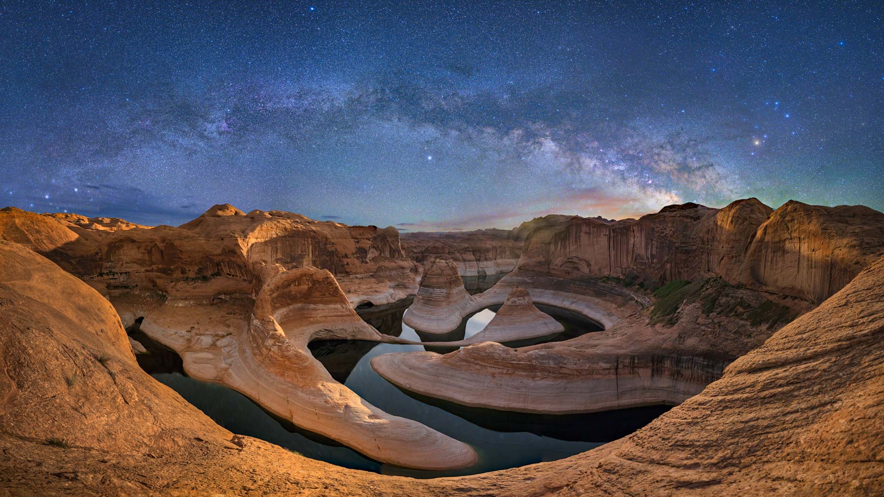
In April of 2019 we returned again just to photograph Reflection Canyon at a very low water level. We camped for two days which gave us the opportunity to shoot in a variety of conditions. We got good images of the Milky Way rising over the canyon and the obligatory "speedboat with wake" image. We ran into several other people at the rim who had hiked in from Hole in the Rock road. Temperatures were above average during the period. There is no shade anywhere along the rim of Reflection Canyon so we were miserable afternoons but the photography made it worth it. Since the lake elevation was 3,569 the spine was clearly visible.
When to Go
If your sole purpose is photography the best months of the year in which to visit the lake are September and especially October. By mid-October the summer crowds are gone, air temperatures during the day are mild, winds are light, and water is still warm enough for swimming. November is also a good month but the water is colder, days are short, and the end of the month is cold. We saw far fewer boats on our November trip than we did in October.
Unlike most locations where the photographer is constantly subject to "Can we go now", Lake Powell is family friendly. There aren't many places as scenic as the lake where those with interests other than photography (hiking, swimming, kayaking, diving, water or jet skiing, fishing, relaxing on deck, ...) will be happy. So if you're traveling with non-photographers or children consider the summer. For the photographer the summer offers a chance for dramatic light and the Milky Way is peak. The downside is it will be hot when hiking, photos will likely include other boats, some of the best landing places will be taken, rental rates are high, and availability of boats is limited. But your spouse and kids will be happy and that's worth a lot!
March to May are good months for hiking but keep in mind that Spring is the windy season in the southwest. Wind makes boat handling and landing difficult, and the lake surface is choppy so shooting reflections is not possible. The lake is lowest in mid-April, so if you wish to shoot low water sites such as Reflection Canyon go then. Unless you are very hardy winter on the lake is not advisable, most people will be miserable.
| Month | Average High | Average Low | Water Temp |
| January | 45 | 24 | 47 |
| February | 53 | 31 | 46 |
| March | 61 | 36 | 52 |
| April | 72 | 46 | 54 |
| May | 82 | 53 | 64 |
| June | 90 | 62 | 70 |
| July | 97 | 71 | 76 |
| August | 94 | 69 | 80 |
| September | 88 | 60 | 76 |
| October | 77 | 46 | 69 |
| November | 59 | 36 | 62 |
| December | 45 | 25 | 53 |
Locations
Lake Powell has 96 major canyons and you can anchor your boat and explore most of them on foot. For some locations landing is not possible due to the presence of high walls, narrow access, or driftwood impeding travel. Some of the 96 canyons can be reached by overland routes possibly requiring multi day backpacks or canyoneering skills.
Overland access to locations on the south side involves crossing Navajo Nation land and a permit is required. Note that Navajo Parks and Recreation will not issue permits for Navajo and Choal Canyons. A good map for photographers showing the 96 canyons and many of the photographic features is the Stan Jones map available on Amazon. The map is not suitable for navigation as it is set at one depth (High Water Mark - HWM). If you purchase this map I suggest you get it laminated. For navigation I suggest you purchase an iPhone or android app, and a marine chart of the lake.
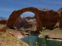
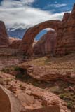
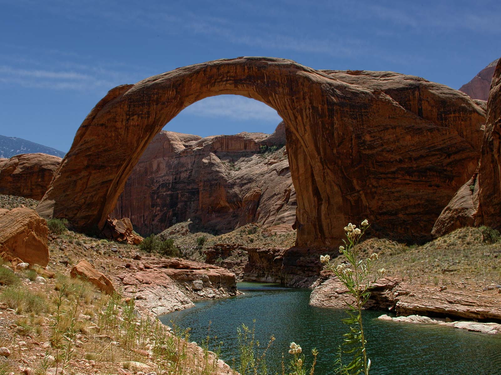
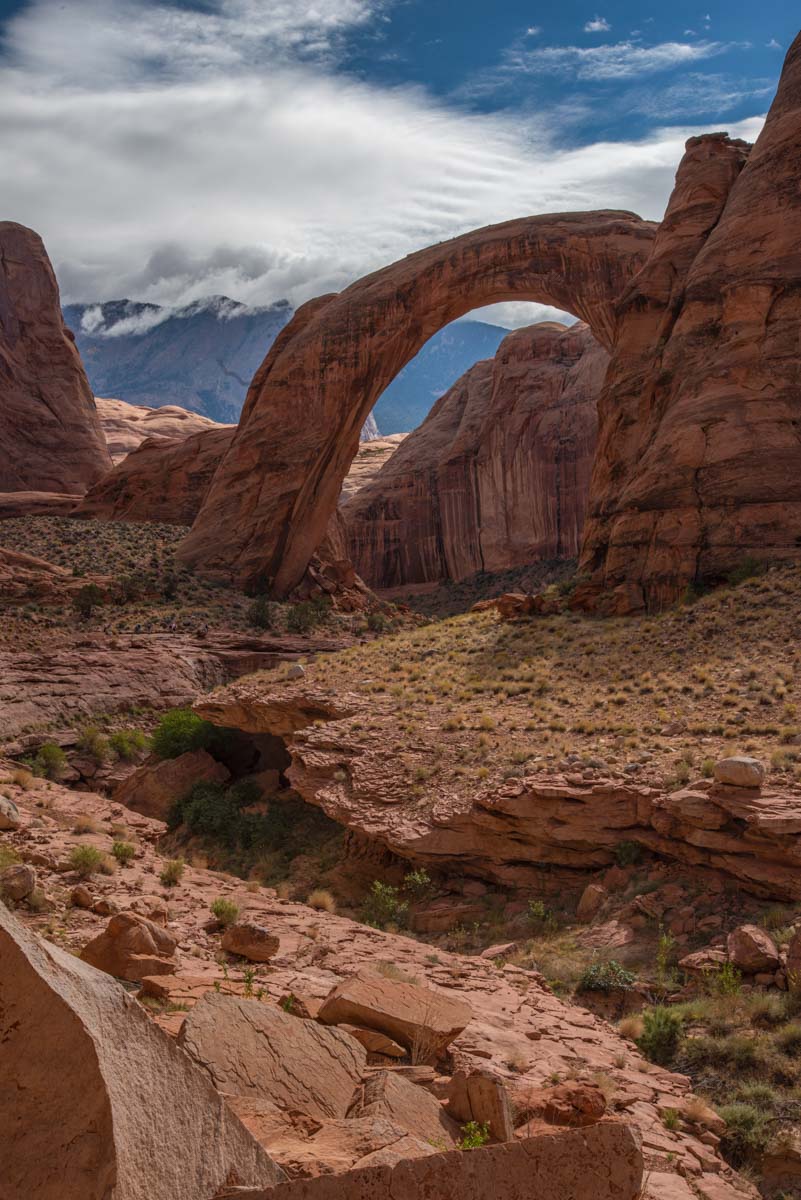
Over the two trips we visited nineteen locations. We traveled up lake as far as the alcoves in Willow Creek. Willow Creek is a tributary of the Escalante River and is better known as the home of Broken Bow Arch. I've included GPS coordinates for most of these locations below. The coordinates are less accurate than those I usually provide as the high canyon walls often precluded a strong signal. The water level during both trips was 3606 feet which is 99 feet below full pool (3,705 feet). Water level has a significant impact on photography and boating at Lake Powell, for example here are two images of Rainbow Bridge, one taken during my last trip (3,606 feet), one in August, 2000 (3,682 feet):
The following table shows the locations visited during our trip. The table includes approximate GPS coordinates and links to The Photographer's Ephemeris (TPE). Clicking on the latitude/longitude will load TPE and bring up a Google map of the area. TPE shows sunrise sunset times and shadow information and can be used for shot planning.
| Location Click to see a Larger Image |
USGS 24K Topo Map - click to download | Location - click for TPE/ Map | Rating | Comments |
| Rainbow Bridge | 37.07733,-110.96438 | ***** | One day boat tours are available leaving from Wahweap Marina. Rainbow bridge opens to the SSE so it is best shot from the south side in late morning. You must pass under the bridge to get to the south side. Most visitors keep to the north side of the arch since there is a sign stating that the area under the arch is sacred to the Navajo people. The sign is routinely ignored by locals. Shooting from the south side offers two advantages: the arch is in good light, and there will be few if any people in your picture. The north side of the arch never gets light. From the north side try shooting with a short telephoto to emphasize Navajo Mountain. A good place from which to shoot the arches south side is from its east corner. Rainbow Bridge takes on a very nice shape when viewed from there. Shoot with a pano head, a fisheye, or an ultrawide lens. In addition to lake access overland access is possible via a two to three day one way backpack. There are two overland trails, the north trail and the south trail. Each trail is lightly cairned and is less than 15 miles long one way. The south trail begins at Rainbow Lodge. Rainbow Lodge was destroyed by fire in 1951 and has not been restored. The lodge was owned by former senator, presidential candidate, and avid photographer Barry Goldwater. The south trail is significantly more difficult than the north trail. The map below shows both trails. The trails follow Rainbow Bridge Creek at the end. Rainbow Bridge Creek is the creek that flows under Rainbow Bridge. It is spectacular after a rainfall from close-up. If you shoot the creek do so only from the area south of Rainbow Bridge. The area north of Rainbow Bridge is within Rainbow Bridge National Monument and you must stay on trails within the monument. If you hike down to the creek within the national monument you will be warned or ticketed. |
|
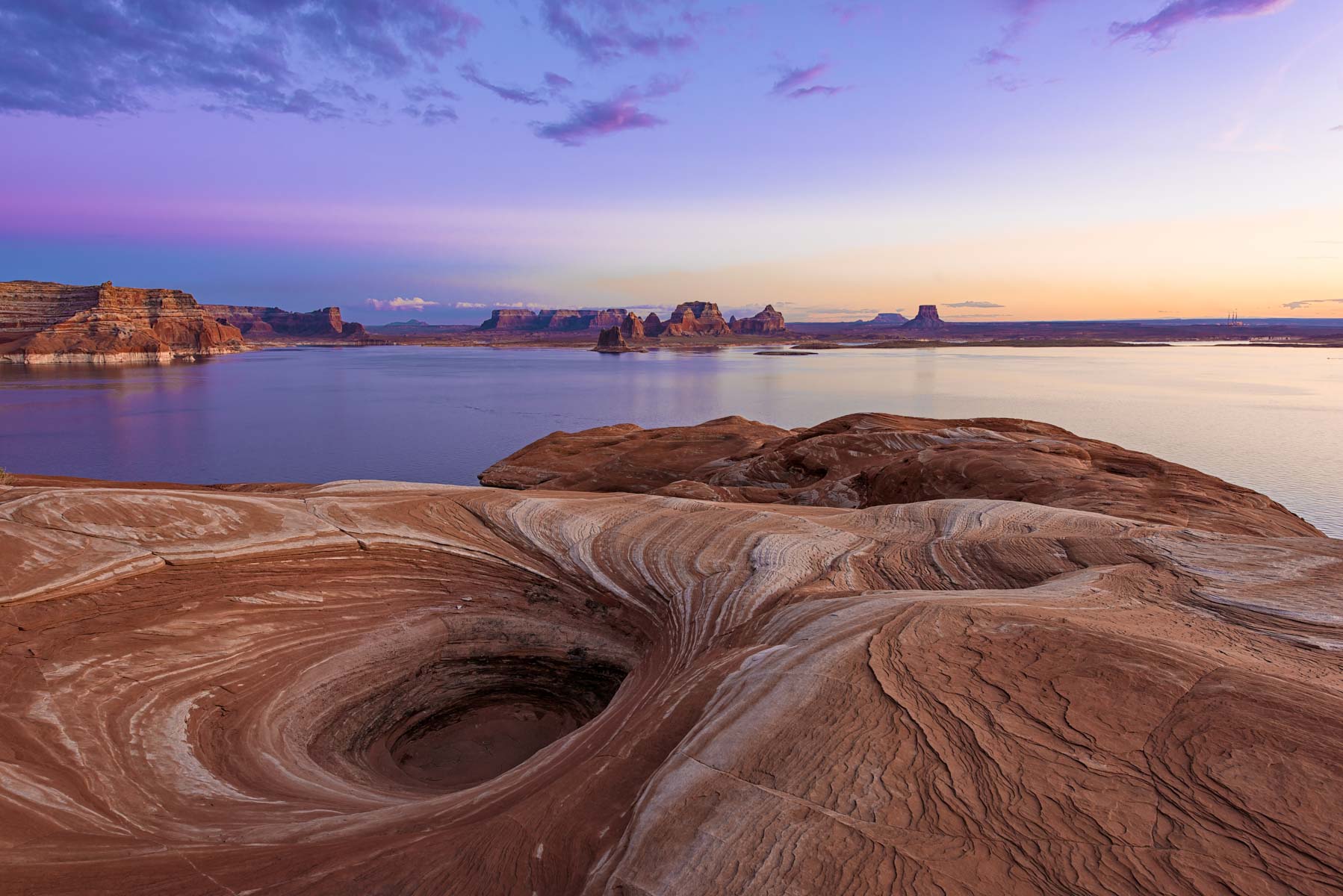
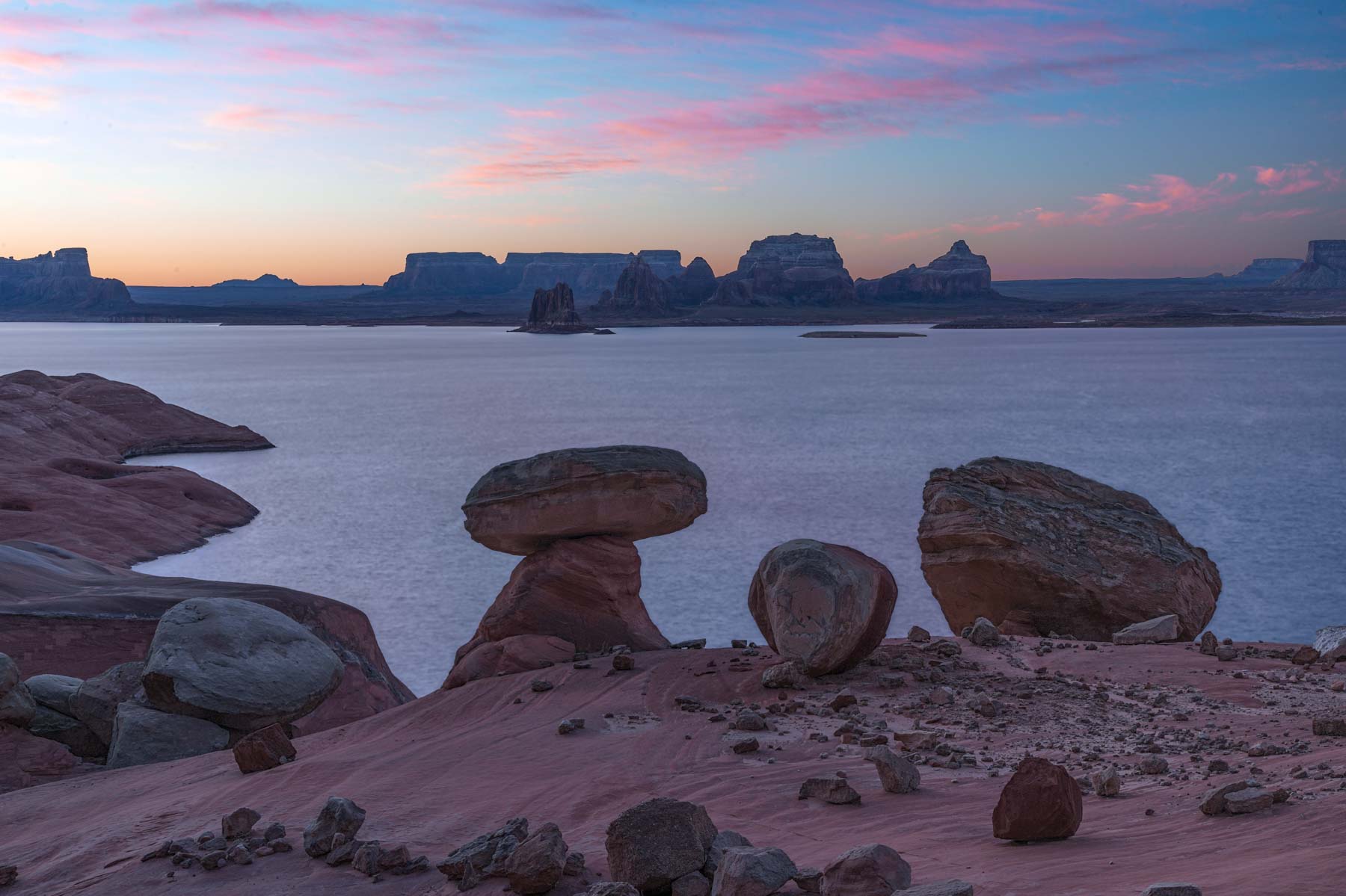
| Gunsight Butte | 37.08716,-111.29689 | ***** | My favorite Lake Powell location. Only accessible by boat due to high cliffs. Great crossbedding (reminiscent of that found in Sand Cove) and potholes. Backgrounds are superb and include Gunsight Butte, Padres Butte, Dominguez Butte, and Tower Butte. Unfortunately Page and its smokestacks can be seen far off in the distance. Good at sunrise and great at sunset. The hoodoos near Cookie Jar Butte are also worth photographing although their best side faces north. These hoodoos are best mid - late afternoon. | |
| Nasja Mesa | 37.18667, -110.91893 | ***** | Reflection Canyon is best shot from the rim to its west. The rim is quite difficult to access. An image of Reflection Canyon appeared in the April 2006 issue of National Geographic. This image inspired many photographers to look for it, and an overland route to the rim starting on Hole in the Rock Road was devised by Rainer Grosskopf. This route requires a 16-18 mile RT hike over waterless terrain. The hike should be done in the cooler months to minimize the amount of water that must be carried. Reflection Canyon is also best shot when lake levels are low. Ideally "the spine" of Reflection canyon should be visible, this occurs when water levels are at or below 3,574 feet. Lake Powell is normally at its lowest mid-April. In April of 2016 the level was about 3,591 feet. Water levels of 3,574 feet or less have not been seen since May of 2005. The National Geographic picture by Michael Melford clearly shows the spine and was probably shot in early 2005.
On my last trip with Gary Ladd he suggested that the rim could be accessed from the lake starting at a small inlet at 37.18118, -110.9190 (water level 3,591). In April of 2016 we decided to try for the Reflection Canyon rim starting at this inlet. We put in and ascended the slickrock, reaching the rim viewpoints after an off-trail one way hike of about one mile. The route we took is shown on the Google map below. We shot the canyon in mid-afternoon on a day with soft light and some wind from two viewpoints. The viewpoints are shown on the Google map below. In my opinion the second viewpoint is better than the first, and going further north along the rim would be even better. At 3,591 the spine can be seen just under water. Water level projections by the US Bureau of Reclamation can be found here: http://www.usbr.gov/uc/water/crsp/studies/images/PowellElevations.PNG |
|
| Gunsight Butte, Sit Down Bench | 37.13418,-111.30061 | ***** | Popular location, Remarkably the "Bath Tub Ring" works to one's advantage here. The leaching of the sandstone by the lake results in softer and more pleasing colors than those found in the sandstone above the HWM. Good at sunrise and sunset. Parts of Last Chance Bay are accessible with difficulty via land, see Michael Kelsey's book "Boater's Guide to Lake Powell". | |
| Gunsight Butte | 37.10792,-111.27565 | **** | Great location in Last Chance Bay, consider including a person or houseboat in your image for scale. Will disappear at higher lake levels. Only accessible by boat. | |
| Nasja Mesa | 37.13990,-110.93323 | **** | A narrow canyon that can be explored only by boat. Only small houseboats will fit. If you enter make sure you have room to turn around. Includes a nice photogenic arch at 3605 and lower. At 3590 a sandbar prevents further progress in the main canyon. A second arch is just around the corner from this arch but is only accessible at very low water levels. About 0.7 miles downstream of Anasazi there are good views of Navajo Mountain at sunset and Commanding Point at sunrise, tie up on the east side of the main channel. | |
| Cathedral Canyon, Navajo Point | 37.11195,-111.05164 | **** | Very nice reflections at sunrise and sunset. The foreground is only lit at sunrise. We were clouded in at sunrise but saw a few big horn sheep as compensation. | |
| Rainbow Bridge, Nasja Mesa | 37.12138,-110.9941 | **** | Inlet just east of Cascade Canyon. An interesting area to explore, I suggest you hike to the tops of the various surrounding hills and benches and shoot from above. Bighorn sheep in the area. | |
| Davis Gulch | 37.28603,-110.91691 | **** | Clear Creek Canyon is the home of "Cathedral in the Desert" , considered one of the most magical places in Glen Canyon. At current water levels the cathedral is not nearly as magnificent as it was in the years prior to Lake Powell but it is still worth visiting. While boat is the easiest way to visit the cathedral, technical canyoneers can hike to the cathedral by rappelling down Clear Creek. | |
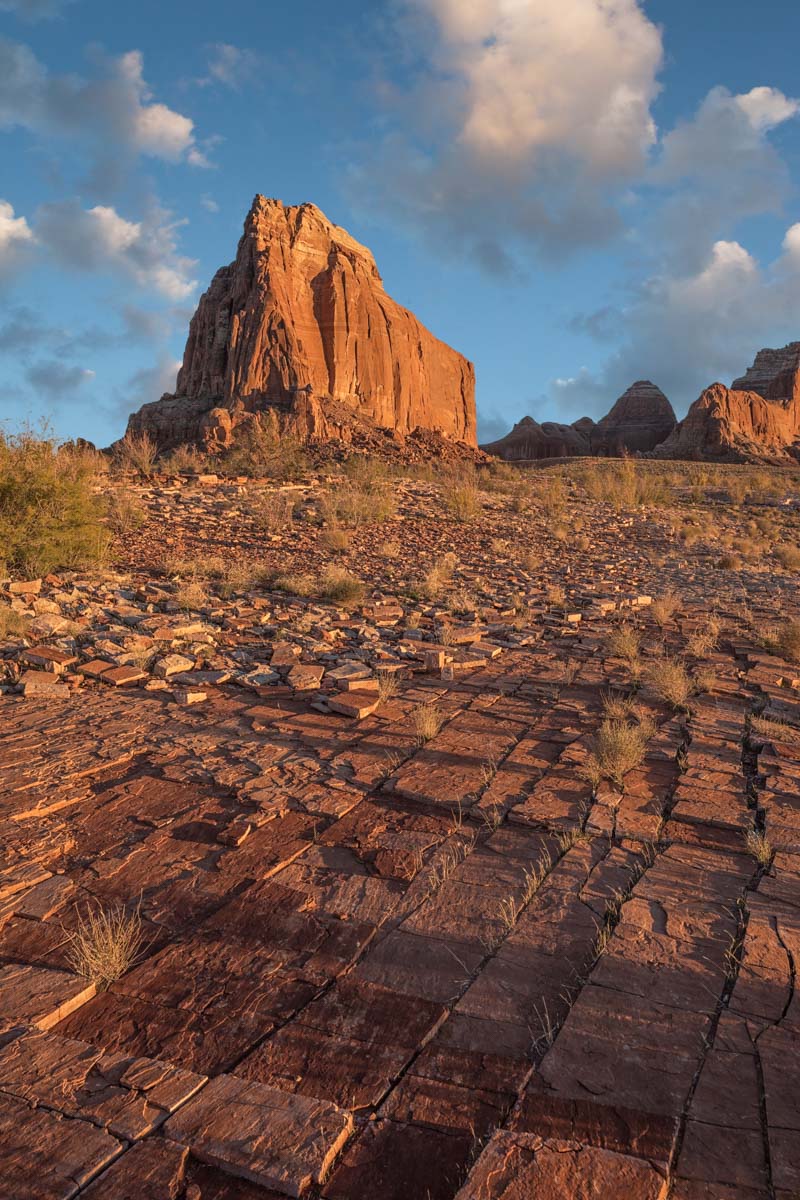
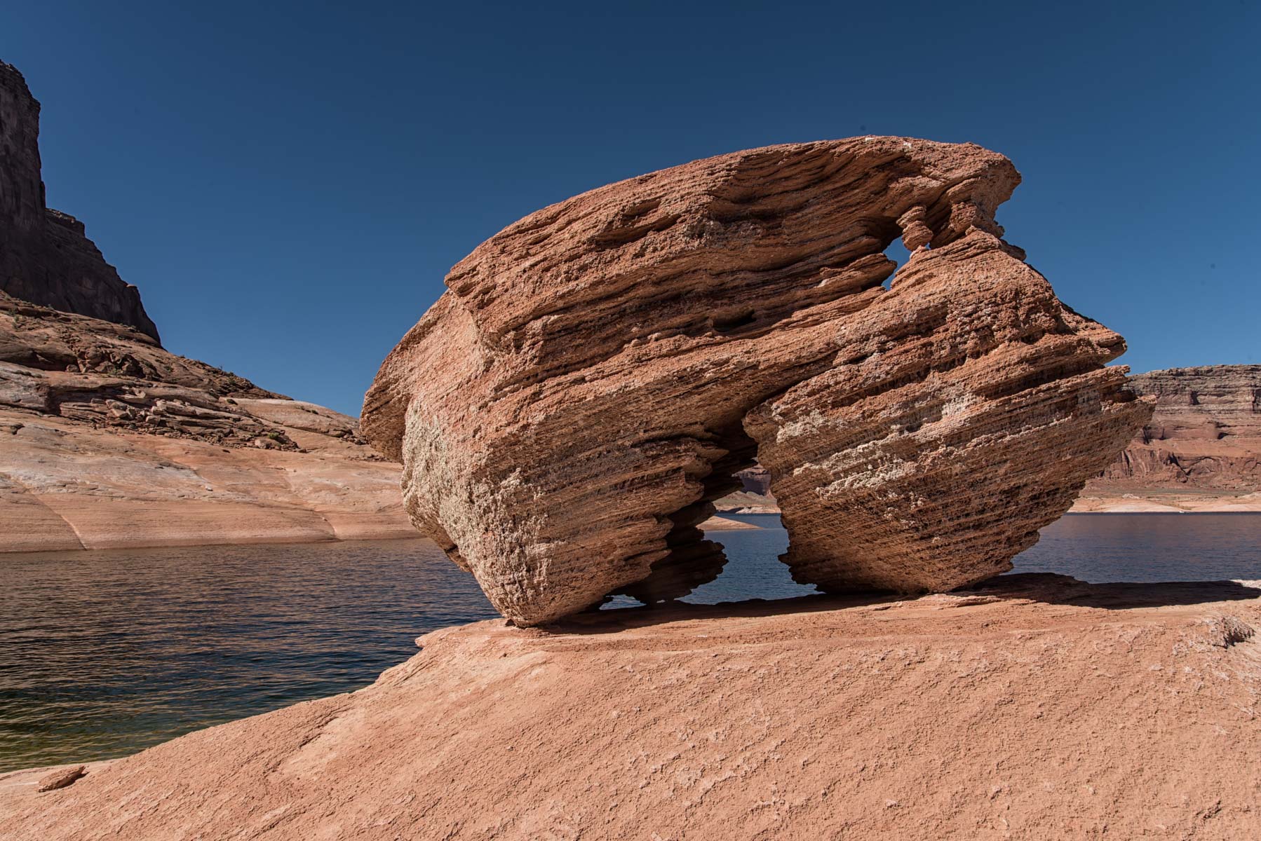
| Gunsight Butte | 37.03508,-111.28356 | ***** | Great location. Good views of Dominguez Butte, Boundary Butte, the butte labeled Meskin on the topo map, Padre Butte, and Gooseneck Point. The tessellated rocks .4 miles NW of the Dominguez Butte provide great foreground at sunset and in the blue hour after sunset. The rocks are underwater when the lake is high. At sunrise shoot towards Padre Butte. There is a very good camp to the east of Dominguez Butte with a sandy beach and great scenics at sunrise. Tie up near 37.03318, -111.26443. | |
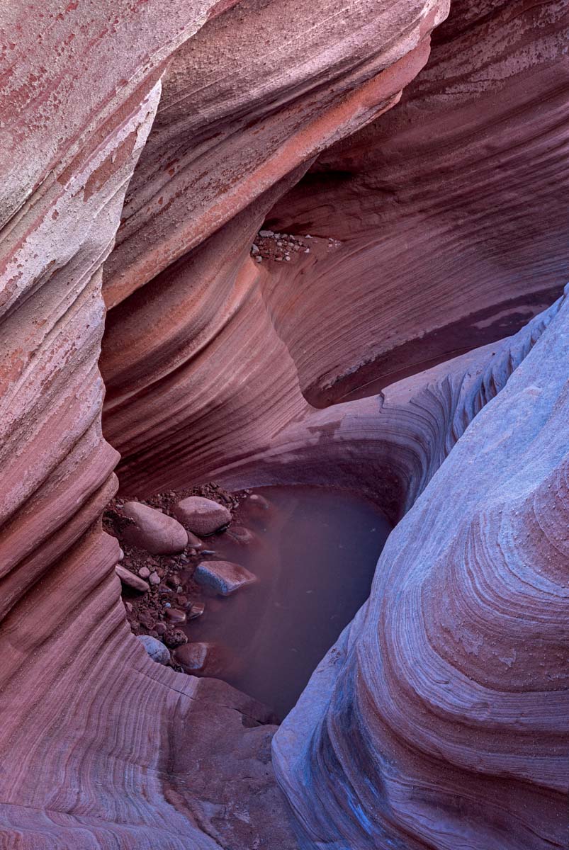
| Face Canyon | 36.99209,-111.22163 | ***** | Contains a photogenic slot known as Fat Man Squeeze, best shot mid-morning before it gets direct light. From Face at high water levels one can gain the rim on the northeast side and hike to two photogenic arches, Diagenetic Arch and Jett Arch. At lower water levels access to these arches may be possible via West Canyon. | |
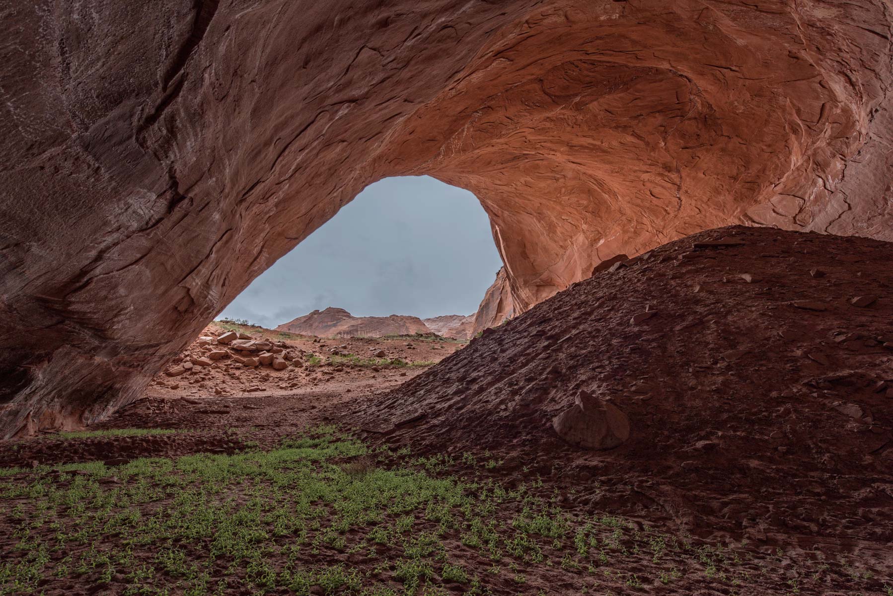
| Davis Gulch | 37.32861,-110.938613 | **** | Very deep alcove, shoot from the back to bring out the blues and reds, and include a person for scale. In the spring many plants carpet the back of the alcove. | |
| Cathedral Canyon | 37.08485,-111.06917 | **** | After tying up for the day, we quickly discovered that most of our group could not gain the benches just above the beach. Danny was able to climb the twenty foot high cliff and dropped a rope for the rest of us to use. Clear skies and shallow waters produced a lovely green lake. I believe the canyon has a lot of potential, just don't anchor where we did! | |
| Nasja Mesa | 37.18625, -110.88883 | **** | A great campsite for morning photography. To the SW about 100 meters from camp there is some nice crossbedding, and to the NW about 300 meters a hill with many colorful river stones that can be used as foreground. The adventurous can proceed to Jack's Arch about .7 miles NNE of camp just above a bench. Note - I believe Jack's arch is not the arch seen on the skyline from camp, but well below it. | |
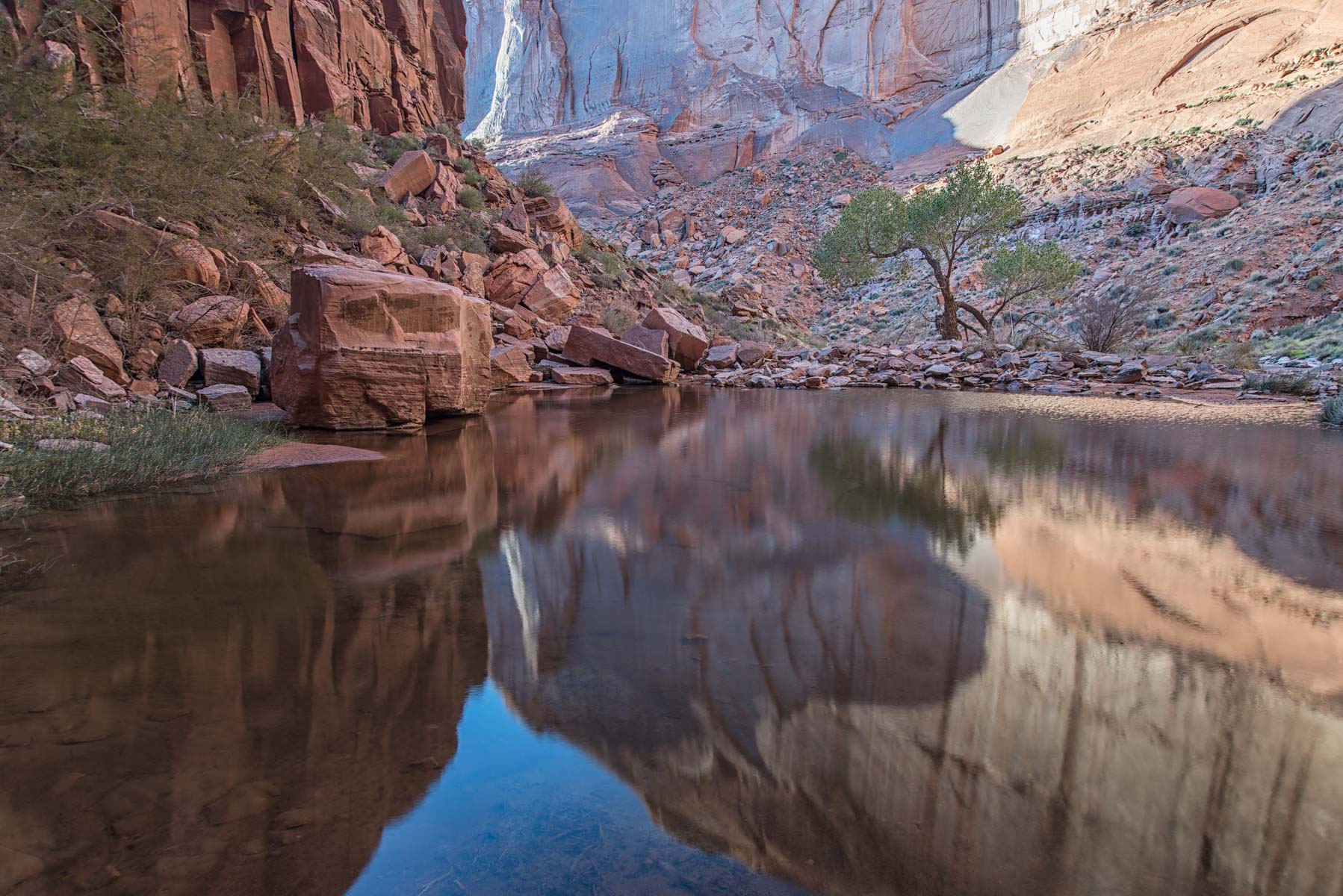
| The Rincon | 37.28313,-110.85876 | **** | Pool Canyon is just downstream of the confluence of the Escalante and Colorado Rivers. A one way 1/2 mile cairned hike is needed to get to the area of photographic interest - a riparian pool surrounded by 500 foot high cliffs. In Autumn the pool gets good reflected light at both sunrise and sunset. Pool Canyon photographs well on a cloudy day as well. The view to the west seen when crossing the canyon on your hike to the pool is spectacular at sunrise. Pool Canyon is only accessible by boat. | |
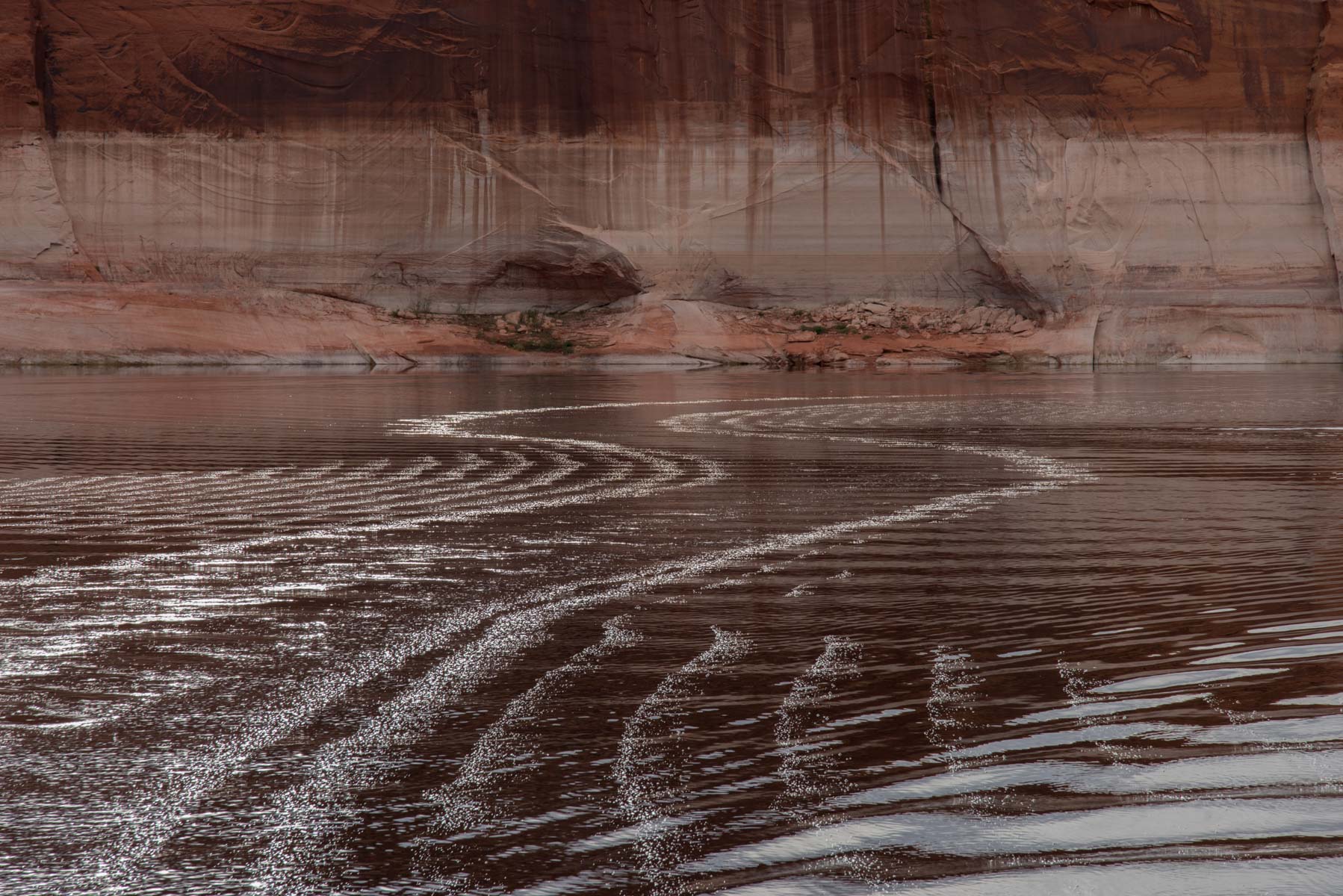
| Davis Gulch | 37.30333,-110.89668 | **** | Magnificent reflections on a clear day with little wind. We had a cloudy day and still got nice reflections. Go slowly and steer your boat in an S curve to generate photogenic wakes. | |
| Cathedral Canyon | 37.10150,-111.09313 | **** | A small arch on the south side of the main channel. Place your camera inside the arch and shoot with an ultrawide framing the butte in the distance. | |
| Davis Gulch | 37.34027,-110.95572 | **** | Magnificent alcoves only accessible by boat. It is possible to hike up Willow Creek to Broken Bow Arch if you can find anchorage near the creek. | |
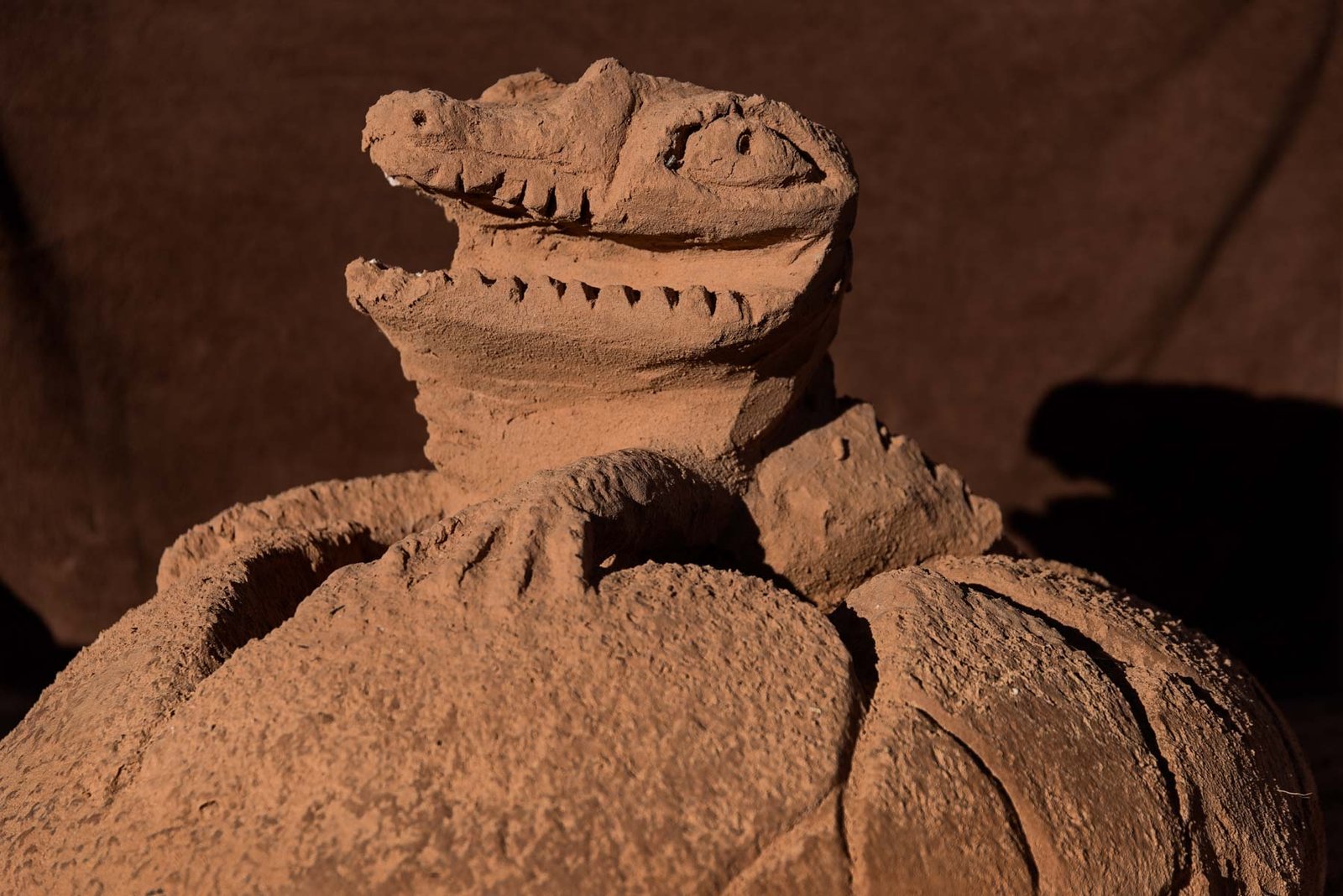
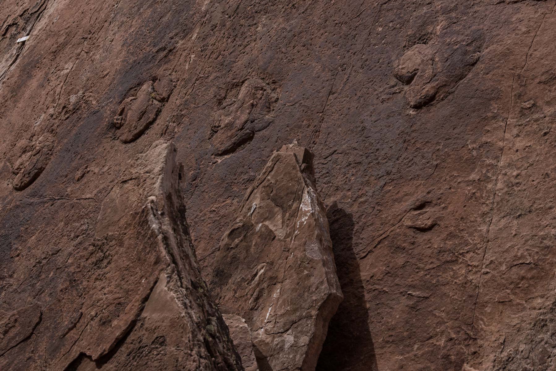
| *** | Two locations are shown in the gallery. The prints are about one foot in size. I have not given GPS coordinates per the request of the tour leader. Note that one set of tracks is on a vertical slab and there is a strain gauge in the upper left corner of the image. We also saw a third print near Rainbow Bridge, see the Rainbow Bridge gallery for approximate location. |
Google Map of the locations

To view the map in Google Maps please click anywhere on the map above.
- Click to download a KMZ file (Note - in IE Right Click and choose Save Target as)
- Click to download a KML file (Note - KML files do not include custom icons)
- Click to download a GPX file (Note - in IE Right Click and choose Save Target as)
In addition to my map above, Googlemaps has another user defined map of Lake Powell with 267 points of interest. It can be found here.
