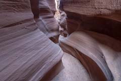
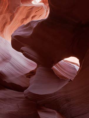
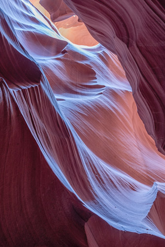
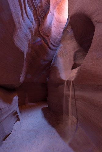
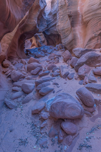
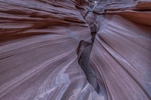
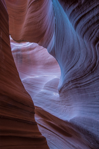
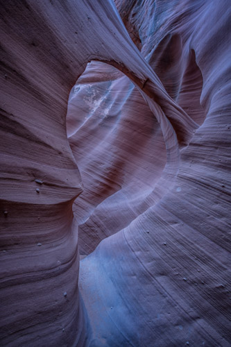
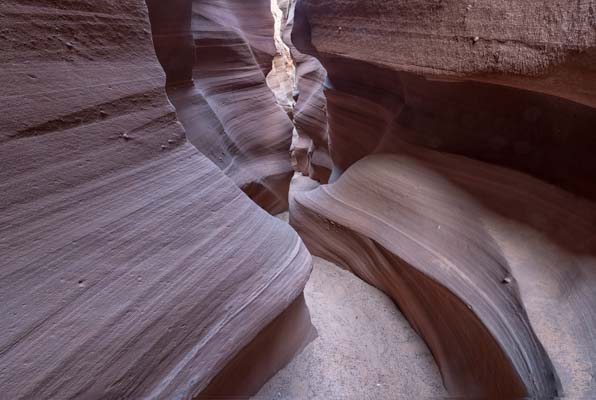
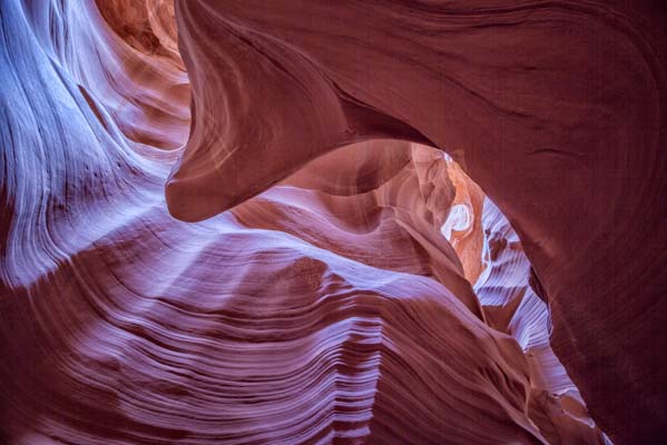
The Page, Arizona Slot Canyons
Introduction
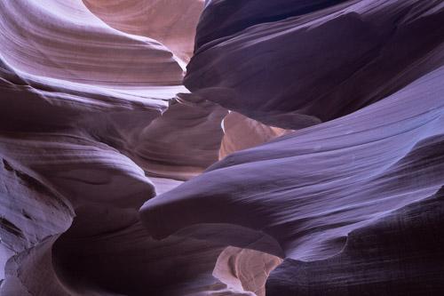
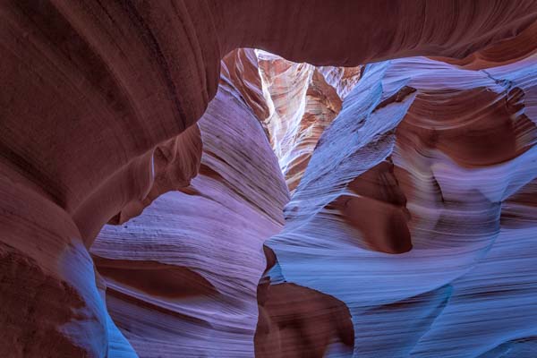
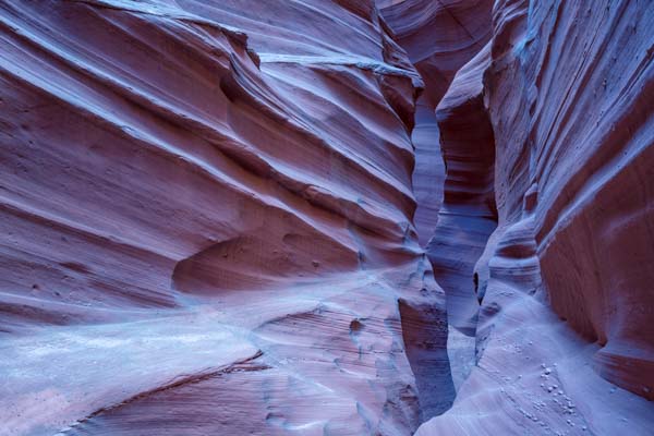
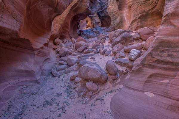
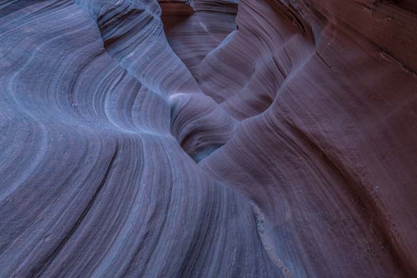
While Lower Antelope Canyon and Upper Antelope Canyon are the best known and most dazzling of the Page slot canyons, there are many others. These may not be as spectacular as the Antelope Canyons but they are unique and have far fewer visitors. They generally have fewer restrictions on photography, on the amount of time you can spend in them, and in some cases do not require a guide. Almost all of the Page slot canyons are east of the Colorado River and are made of Navajo sandstone, a few (Stateline and Wiregrass) are west of the Colorado and are composed of Entrada sandstone. Entrada lacks the fine structure and detail of Navajo sandstone.
All of the slots east of Page are tributaries of Antelope Wash or Waterholes Canyon, with the exception of Cathedral. Cathedral drains via Honey Draw and flows into the Colorado just northwest of the Page McDonald's. The western slots drain into either Wahweap Creek or the north shore of Lake Powell. Further from Page are the main and east forks of Upper Kaibeto Creek, and Peach Canyon. These slots are closed to all visitors and are not covered in this article. They flow into Lake Powell via Face Canyon.
Photographing Slot Canyons
Slot Canyons are among the most difficult to photograph subjects in the southwest. They are narrow and crowded which makes tripod setup difficult. Slot canyons are dark, you'll have trouble focusing and seeing your camera settings. If you're on a tour you'll feel rushed, and dynamic range is high so exposure bracketing is often needed. Here are some suggestions to make your life in a slot easier:
- Think portrait. Vertical features like slots are normally best captured in portrait mode.
- Shoot towards the top of the slot but do not include sky. You want a mix of light and dark colors in your composition. Angling Up also keeps people which walk by out of your picture.
- Bring a tall tripod. You will often be shooting upwards and a tall tripod will help you compose. A tripod with a center column that moves in any direction may be of help.
- If you cannot bring a tripod shoot wide-open and increase your ISO until the exposure time is at most 1/15 of a second if your camera and/or lens is stabilized. If they are not stabilized the exposure time should be at most 1/(2*focal length), e.g at 24mm the exposure time should be at most 1/50 of a second. In my experience you will need to increase your ISO to betwen 800 and 3200 to get 1/15 of a second wide open. I would try several different ISOs as doubling the ISO increases the noise and decreases the dynamic range by about one stop. Since you are shooting wide-open depth of field will be limited so focus bracket. After the bracket is complete shoot a faster additional last frame to make sure that the highlights are not overexposed.
- Bring a small flashlight to help with focus and viewing camera settings.
- On windy days bring a rain cover for your camera to protect it from sand floating in from above.
- Expose for the highlights.
- Exposure bracket heavily, if you are including the brightest areas near the top of the slot exposure could vary by more than ten stops.
- Turn off image stabilization unless you know that your lens supports the use of IS on a tripod. IS on older lenses and long exposure times (> 0.5 seconds) guarantees very soft pictures.
- A flash is useless; it will wash out the colors in your image and will cast harsh shadows.
- Bring a scoop or cup to throw sand. Sand and dust in the air emphasize light beams and can also be used to create "sand falls". The sand in slot canyons may contain the potentially deadly hantavirus. If you do throw sand I suggest you bring it in from outside the slot canyon.
- Have both wide and normal lenses and a way to store them compactly. On many tours a camera bag is not allowed.
- Stop down to get needed depth of field, or focus bracket. Bring a depth of field calculator which shows you where to focus and what aperture to use, like my DOF Easy.
- Work the geometry. The camera angle doesn't matter, i.e. the camera does not need to be level.
- Watch for flare.
- And most importantly, stay cool. Things will go wrong. Expect that people will walk through at just the wrong time or bump against your tripod legs.
Upper and Lower Antelope Canyons
Both Upper and Lower Antelope Canyon are incredibly popular and will be crowded, but a one-time visit is worthwhile. To get to either canyon from Page take 89 local (Lake Powell Boulevard) to Coppermine Road, follow Coppermine Road to Highway 98 and make a left. Take 98 about 2.5 miles to the sign for Upper Antelope Canyon on the right. To get to Lower Antelope make a left on 222 just beyond the entrance for Upper Antelope Canyon. Both require the full time presence of a guide while touring them.
As of late 2017 there are three companies leading guided tours to Upper Antelope: Antelope Slot Canyon Tours, Antelope Canyon Tours, and Adventurous Antelope Canyon Photo Tours. All three offer both scenic and photo tours of the canyon. Scenic tours last 90 minutes, no tripods or bags are allowed in the canyon, monopods may be okay. Photo tours last two hours, tripods are required to participate. Upper Antelope has very high walls and is one of the darker slot canyons. A tripod is required to get good quality pictures, so you should book the photographers tour if your primary interest is coming back with a good photograph. Scenic tour rates for the three companies are similar, as of 2017 scenic tours cost approximately $58 during prime time (roughly tours starting between 10:30 and 1:30) and $48 other times. Rates for photo tours vary considerably by company, check them via the links above. Upper Antelope Canyon is only 100 yards long and generally gets better color than Lower Antelope.
There are two companies offering scenic tours of Lower Antelope Canyon: Dixie Ellis Lower Antelope Canyon Tours, and Ken's Tours. Both companies forbid the use of tripods. Rates for scenic tours are currently the same for both companies. During the winter months (November 1 through February 28) Ken's offers a two hour photo tour, this is not offered during the rest of the year.
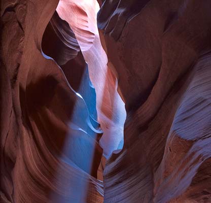
If you visit Upper Antelope Canyon you should go during the morning as this is when the ray of light enters the canyon. I have been to Lower Canyon in both the morning and afternoon and didn't see much difference in conditions, although I have heard that morning is better. Lower Antelope also gets rays of light during part of the year. In Upper Antelope the best light is often near the top so you'll be working with a normal or short telephoto. Occasionally you will want to go wider than 24mm.
Lower Antelope is about 1/4 mile long and ends abruptly with a 100 foot drop off. The canyon continues on to Lake Powell but never slots up again after the drop. In Lower Antelope Canyon there are some ladders to climb so bring a light pack if allowed. When you get to the drop off in Lower Antelope you can either exit the canyon by climbing up a ladder and then rim walk back to your car, or you can backtrack up the canyon. Both canyons are closed after heavy rains or when rain is threatening.
Lower Antelope Canyon is covered by the Page topographic map and Upper Antelope by the Lechee Rock topo map.
Other Antelope Drainage Slots
Many other slot canyons feed the antelope drainage. Here is a partial list:
Wind Pebble Canyon is a collection of three short slots the first two of which are outstanding. A "photo tour" of all three lasts five to six hours and covers 2.8 miles. At the end of the hike you climb three well supported ladders and gain about 300 feet in elevation so you should be in reasonably good shape. The Wind Pebble Canyons flow into the Canyon X drainage which is two miles downstream.
Other Drainages
Waterholes and Secret Canyons - Effective May 1st, 2018 Waterholes Canyon can only be seen with a guide. Tours are offered by Waterholes Canyon Experience, last about two hours, and cost $48 for adults. Tours start at the Waterholes Canyon Bridge parking area on US 89 4.9 miles south of the McDonalds in Page. Prior reservations are not available. "Bags" are not permitted on the tour. The website does not state whether tripods are allowed.Secret Canyon is in the upper eastern most part of the Waterholes drainage, and a guide is required. Tours are offered by Horseshoe Bend Tours and cost $90 per adult. Tripods are allowed. Prior booking is required.
More information about Waterholes and Secret Canyons can be found here and images here.
Cathedral Canyon - is unique in that it is the only Page area slot east of the Colorado River which does not empty into Antelope Wash or Waterholes Canyon. Drainage is via Honey Draw which passes under Highway 89 between McDonald's and Burger King. Three hour tours cost $100 and are offered by Antelope Slot Canyon Tours. No tripods, monopods, backpacks, or selfie-sticks are allowed on the tour. Cathedral Canyon is covered by the White Dome topo map.
Stateline Canyon - This canyon crosses the Utah Arizona border just east of Greenehaven, hence the name. Unlike all of the other Page slots the land is not part of the Navajo Nation so no guides, permits, or fees are required. Stateline trail begins 500 feet west to the turnoff for Studhorse Point. Park at the turnoff. The trail is about two miles long and has several dropoffs which require serious rappelling, fortunately they can be bypassed via the right rim. More details about the hike can be found at RoadTripRyan. Stateline Canyon is covered by the Ferry Swale and Lone Rock Topo maps.
Google Map of the area

To view the map in Google Maps please click anywhere on the map above.
- Click to download a KMZ file (Note - in IE Right Click and choose Save Target as)
- Click to download a KML file (Note - KML files do not include custom icons)
- Click to download a GPX file (Note - in IE Right Click and choose Save Target as)
USGS 24K Topo Maps
Fifteen topo maps cover all of the Antelope, Waterholes, and Kaibeto Creek Drainages. These maps together with a merged map can be downloaded in a variety of formats by clicking or right clicking on an element in the table to the right: The individual topo maps in the table are high resolution and can be quite large (typically 5-10 megabytes). The zip files and merged maps are much larger.

Page Area Index Map
