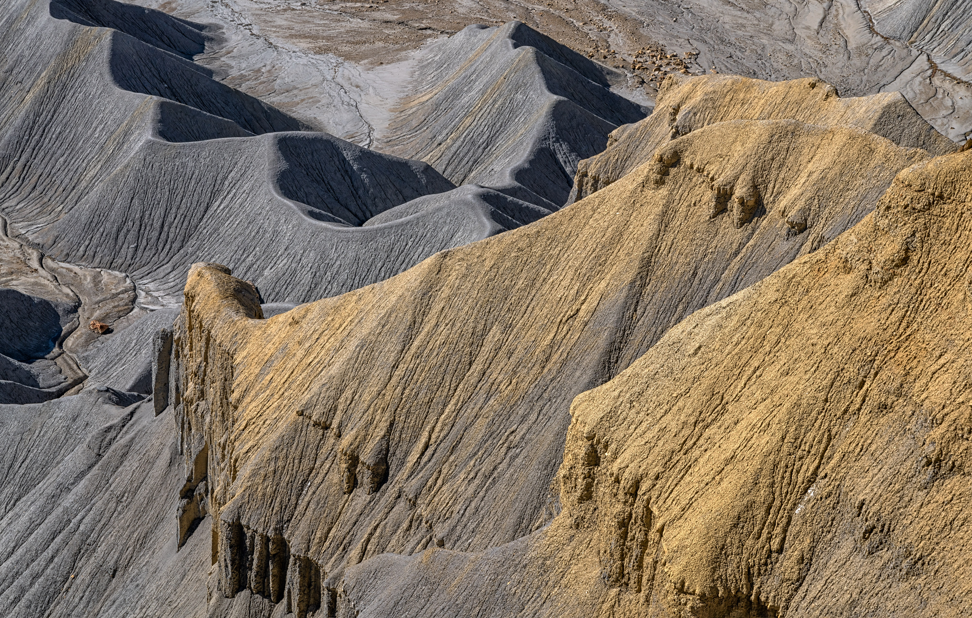
Mancos Shale 1
The trail
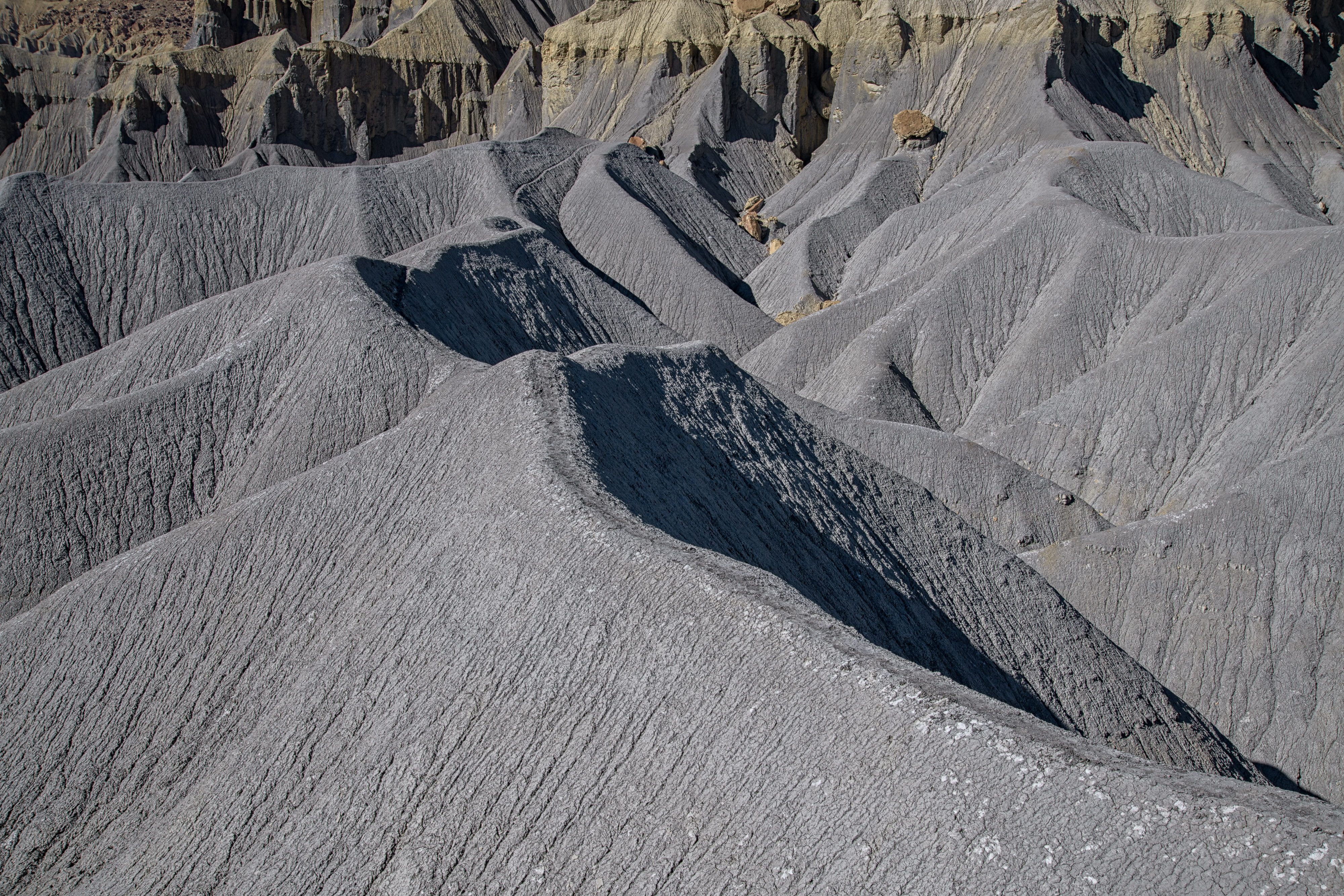
Mancos Shale 2
Highway 24
Erosion
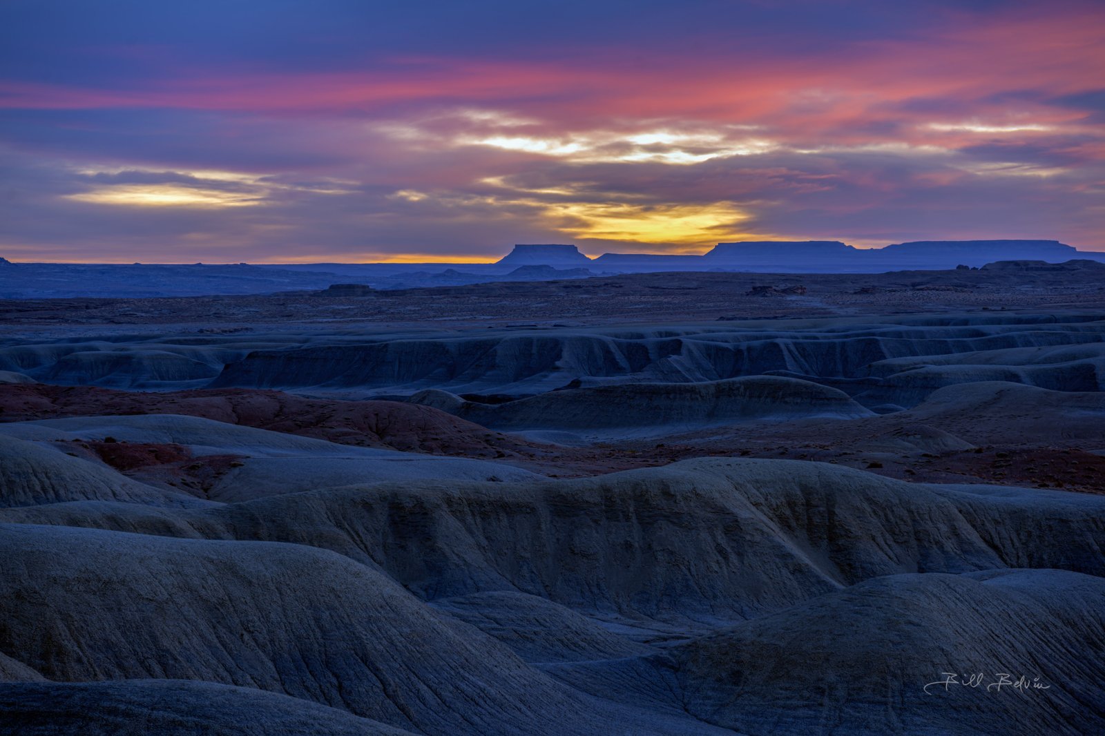
Factory Butte Aerial at Sunrise 3
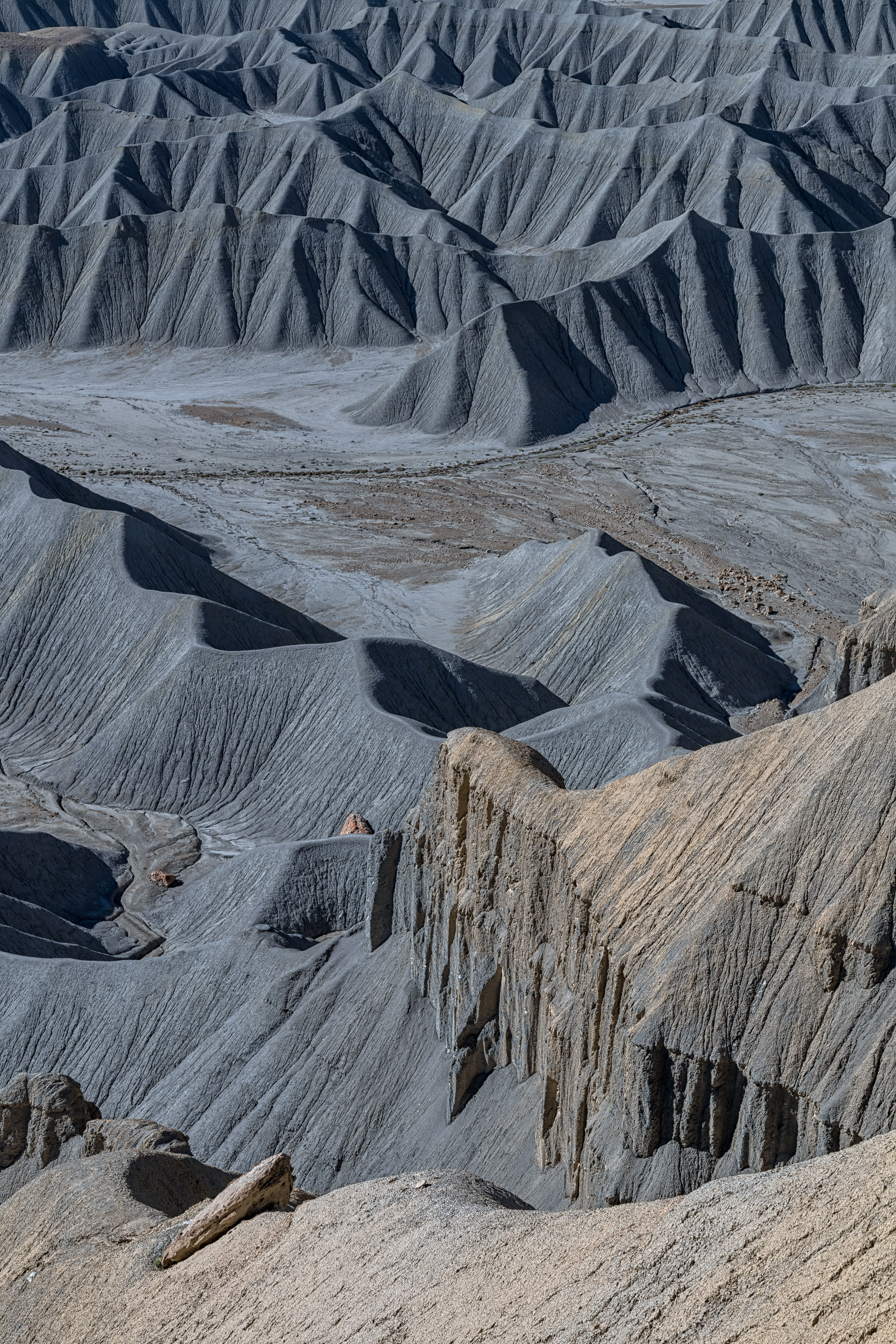
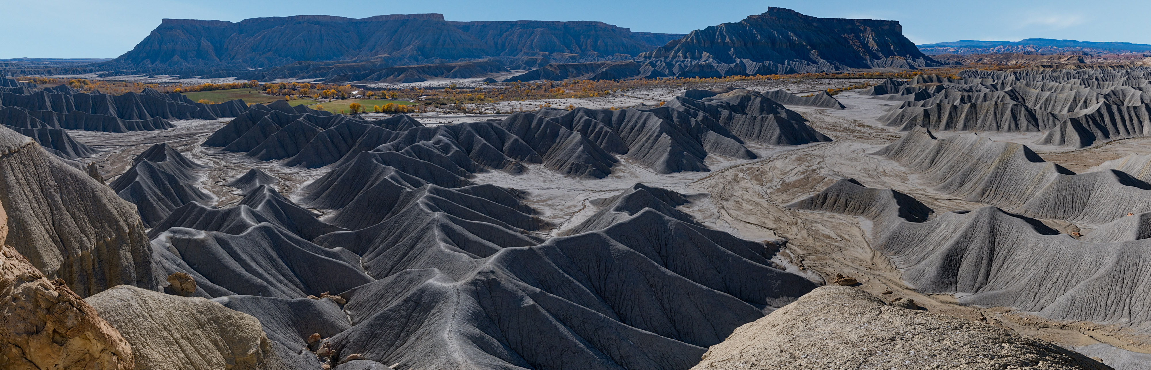
Factory Butte Badlands 3
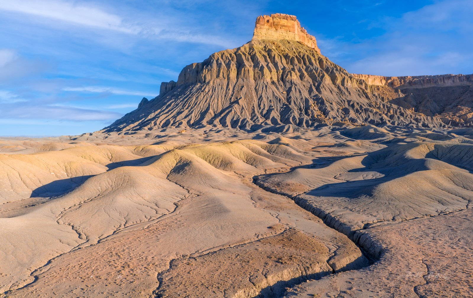
Southwest Face of Factory Butte
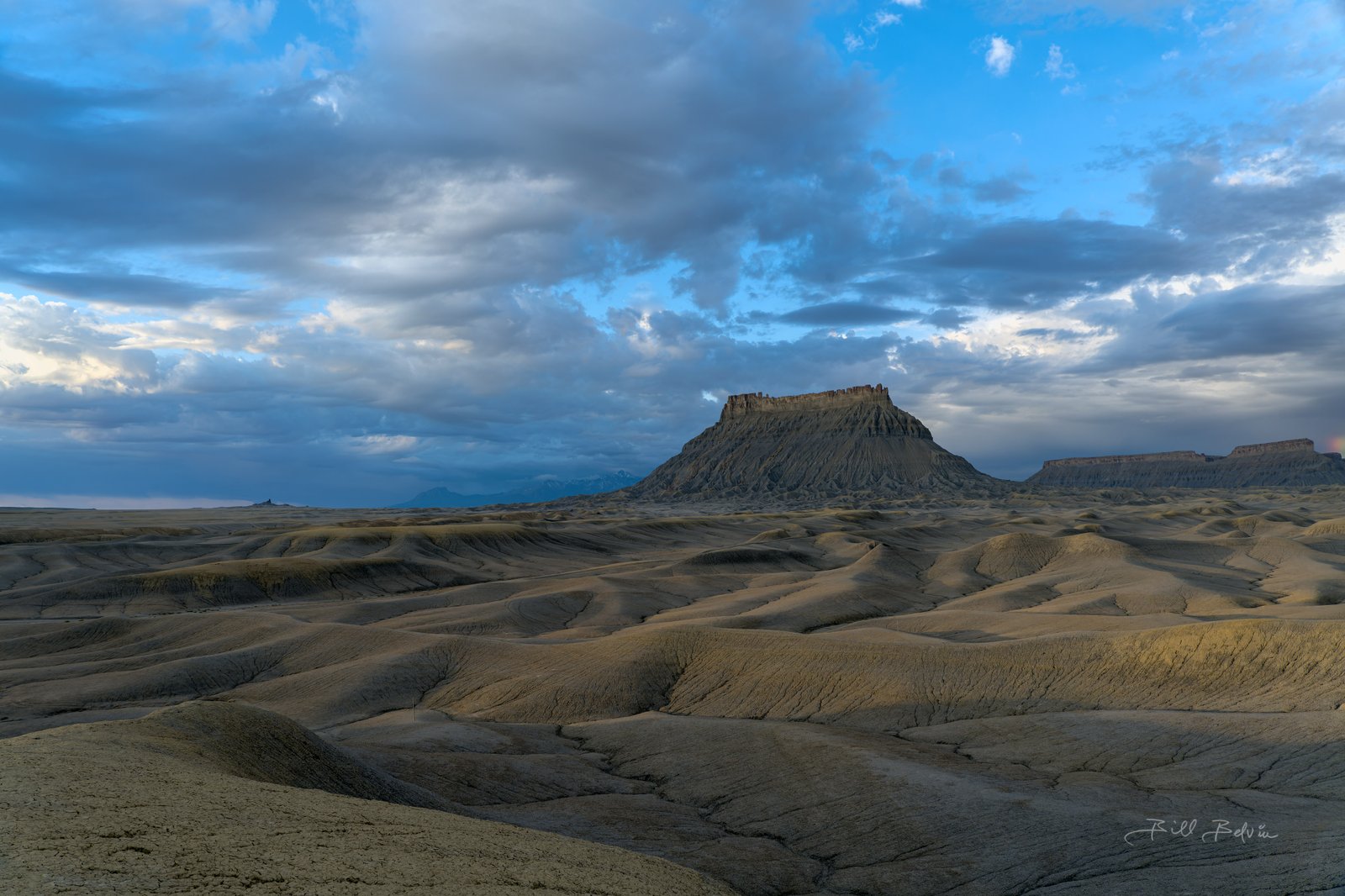
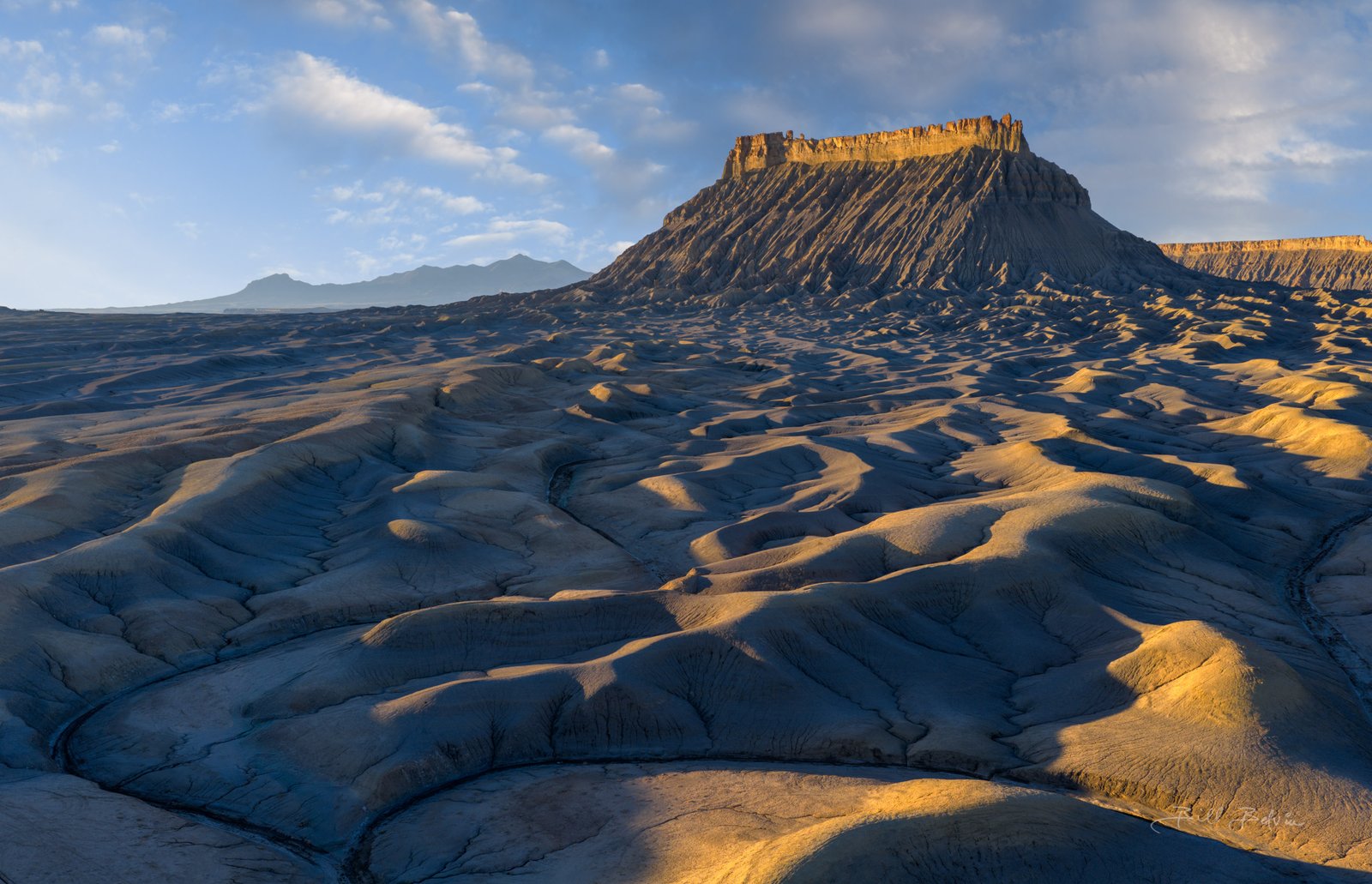
View from West Factory Road 2

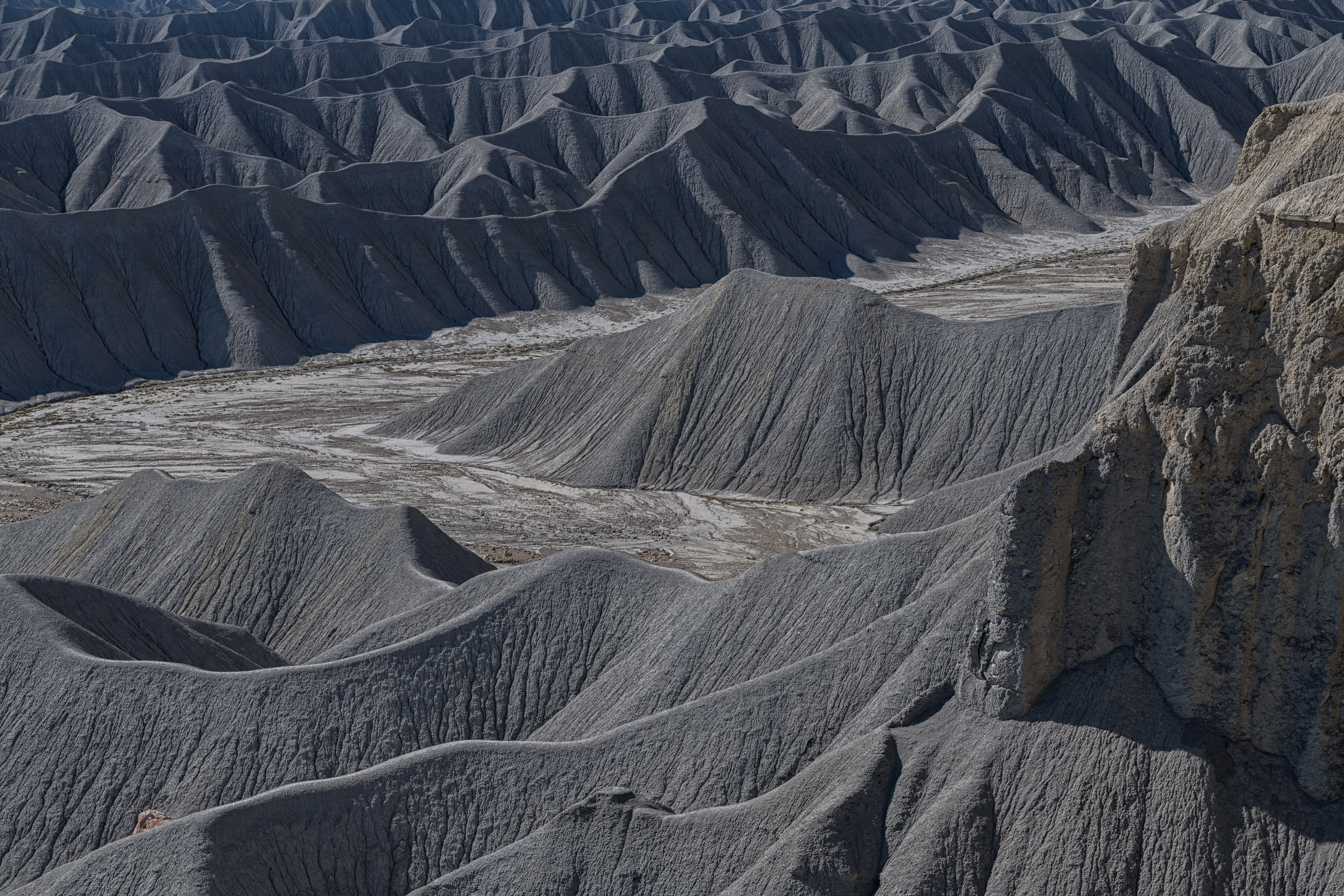
View from West Factory Road 9
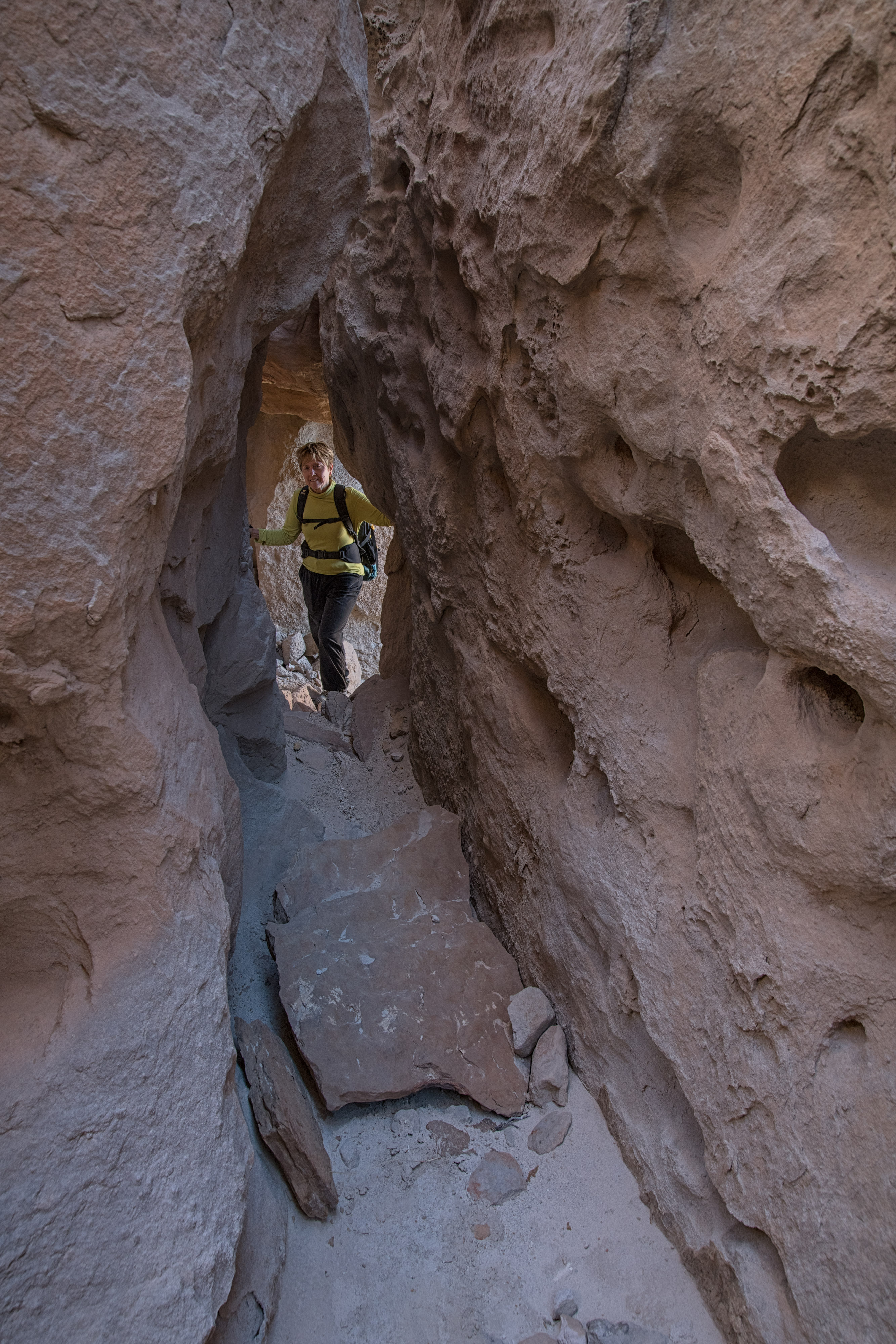
Crack near the Top 1
Mancos Shale 4
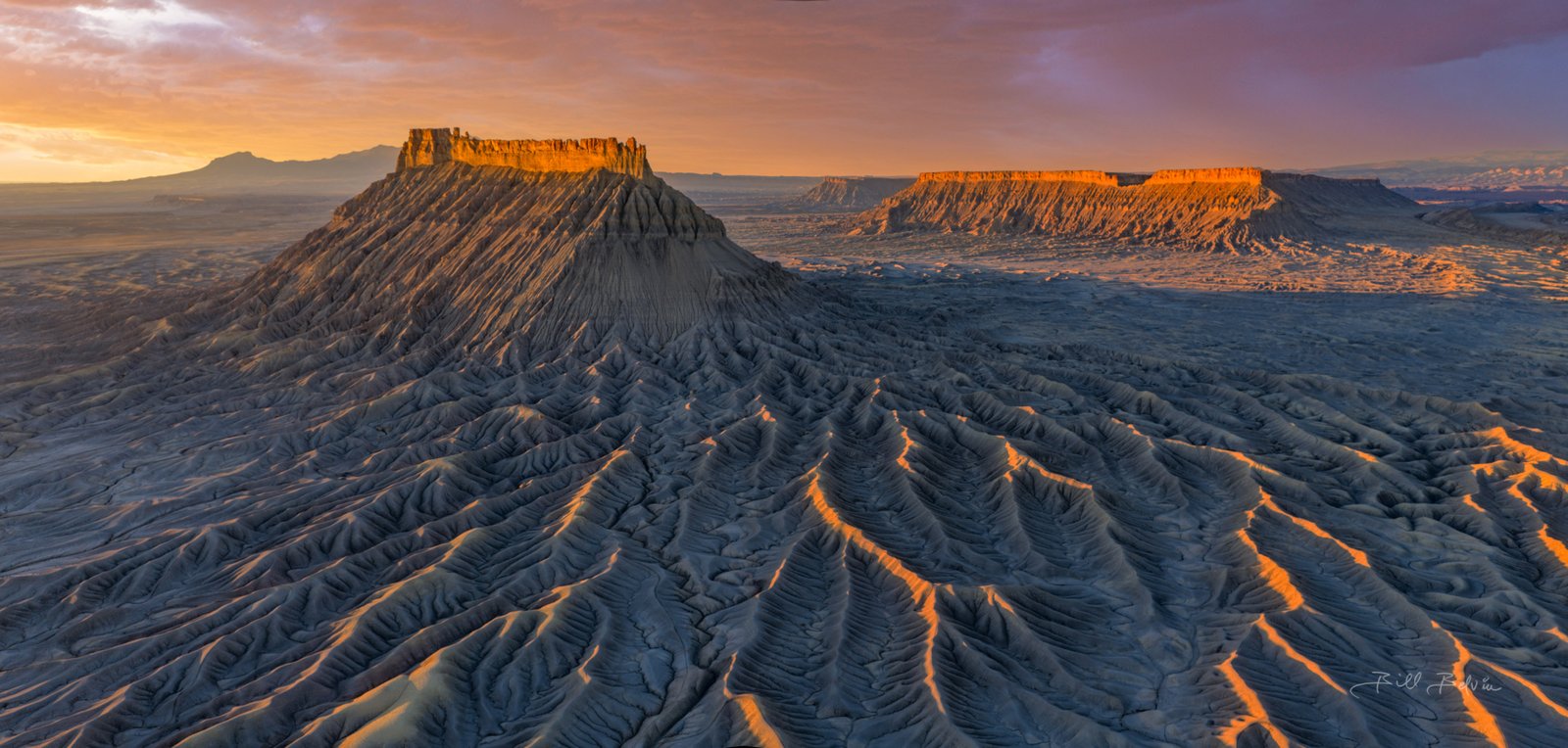
Factory Butte Aerial at Sunrise 4
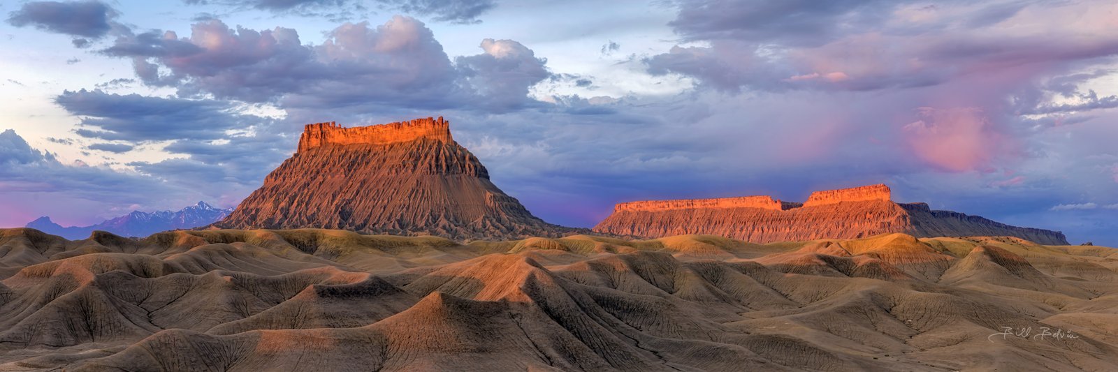
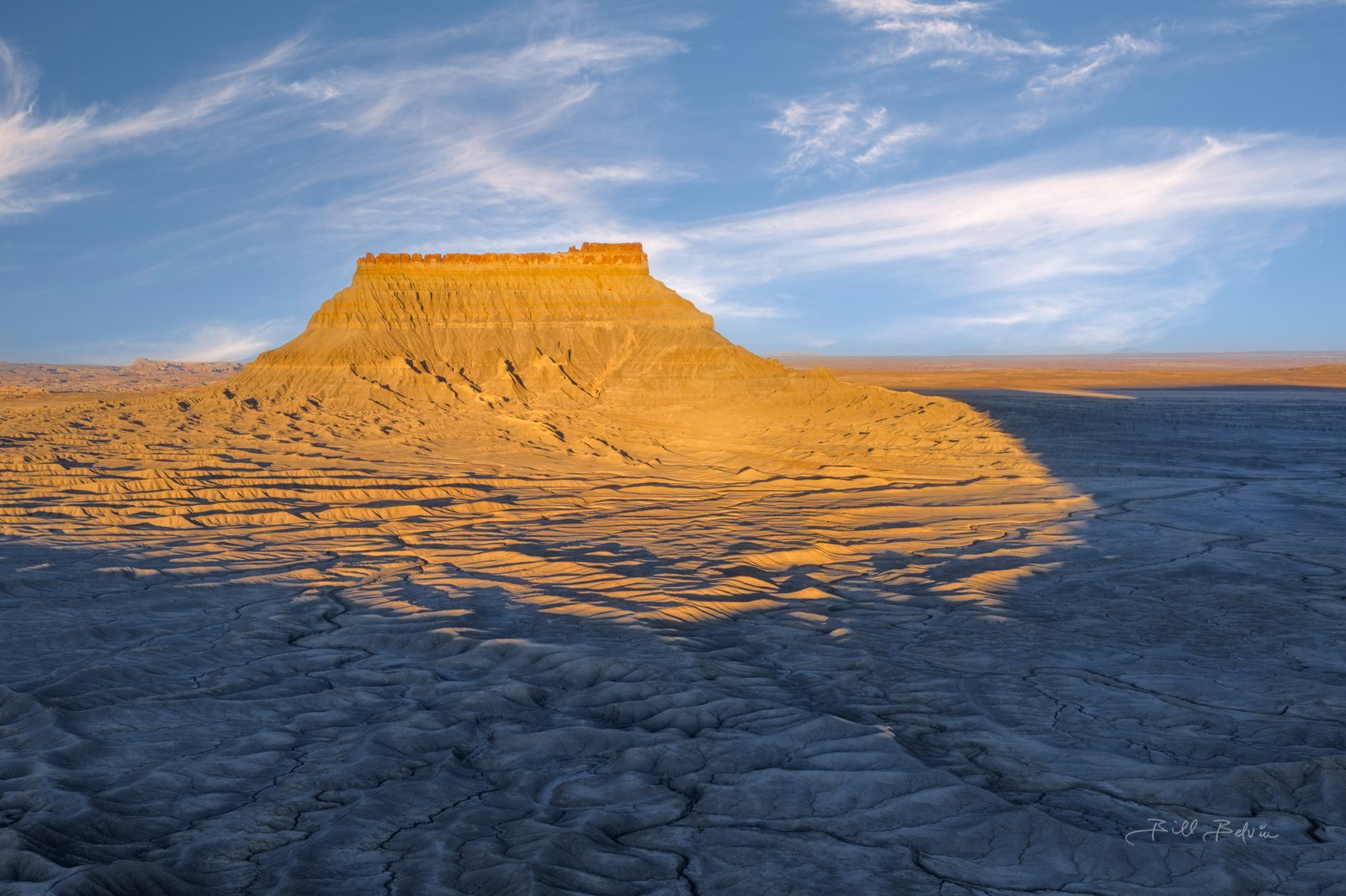
Early light on Factory Butte
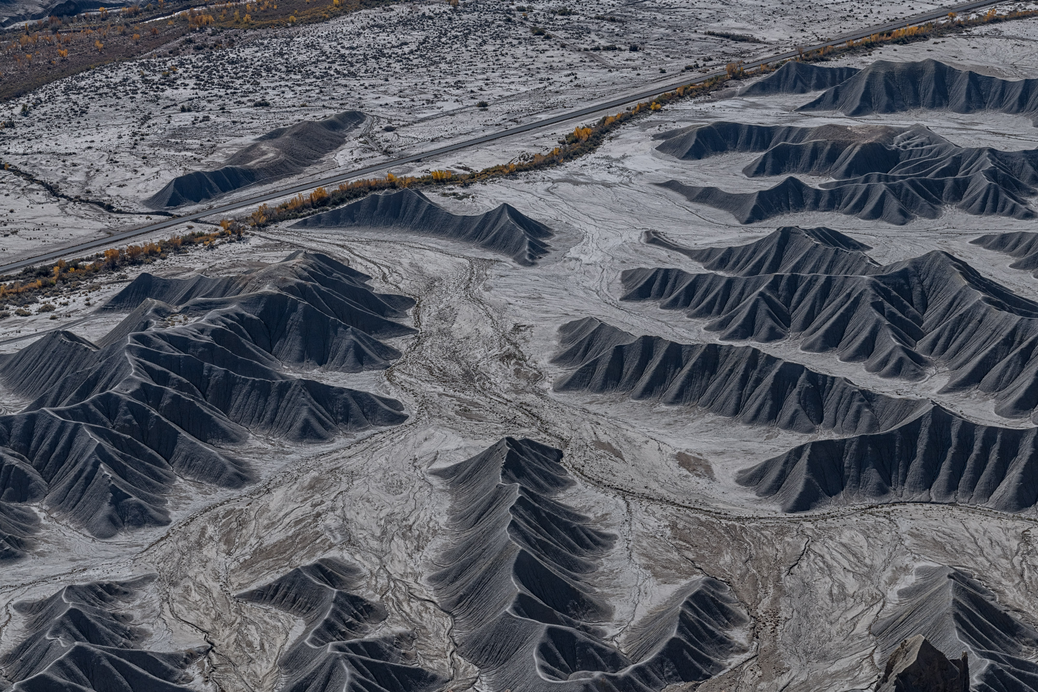
Wild Hiorse Road Panorama 1
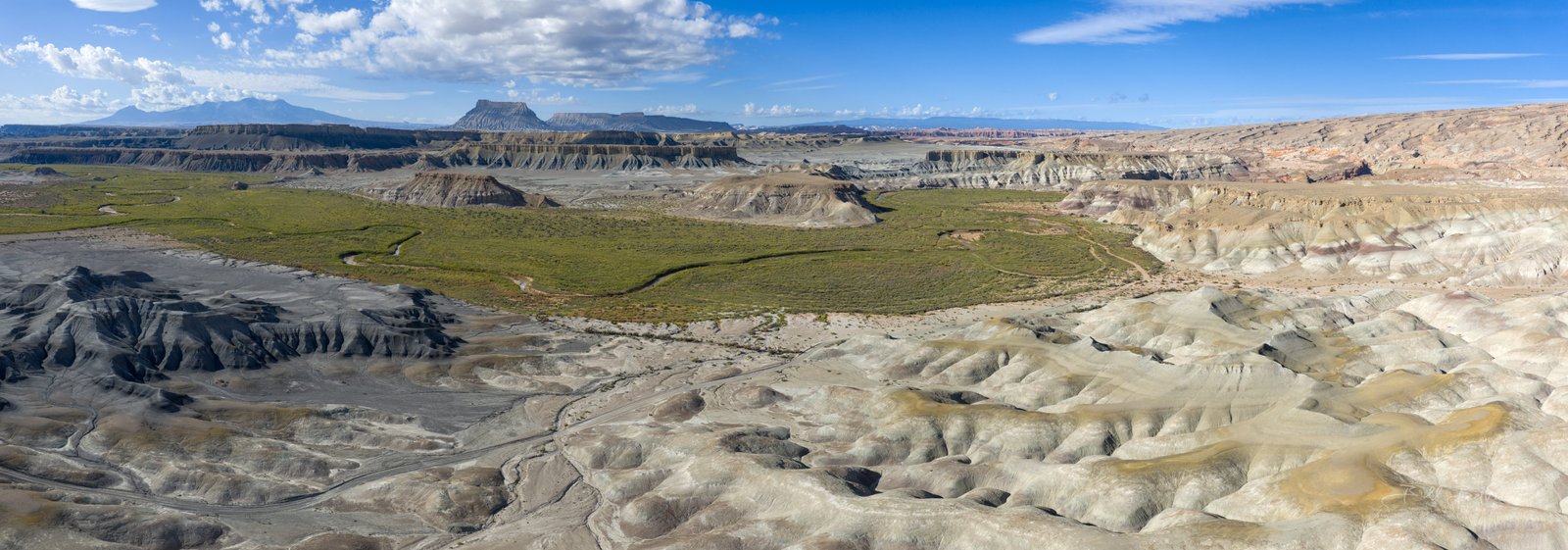
Panorama 1
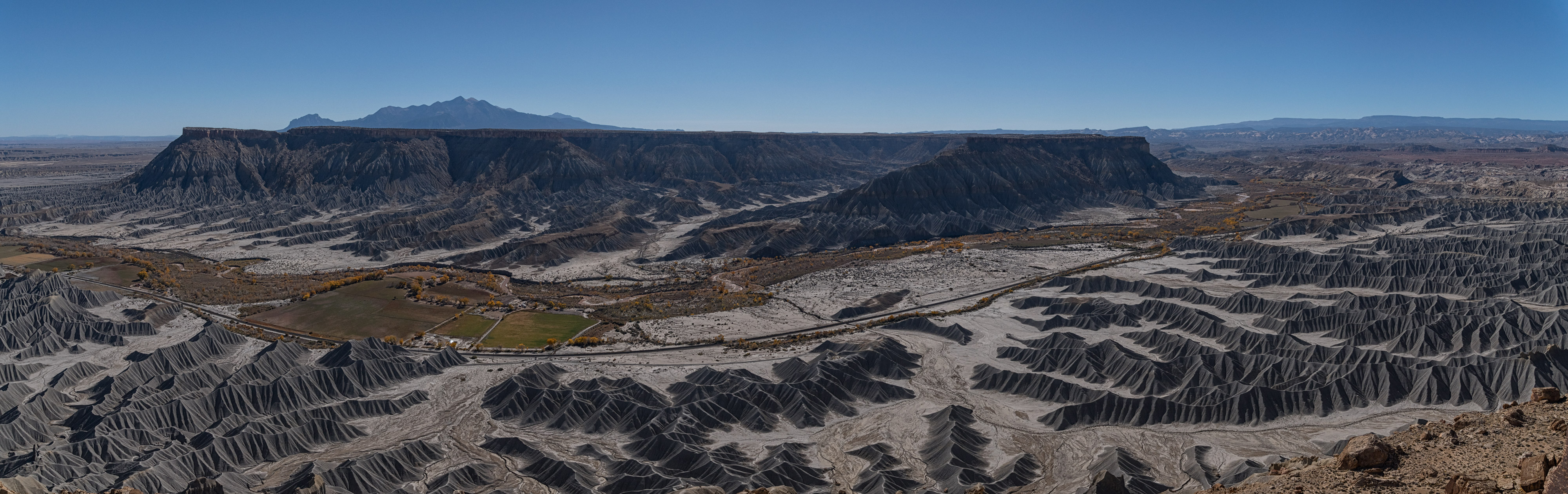
Panorama 2